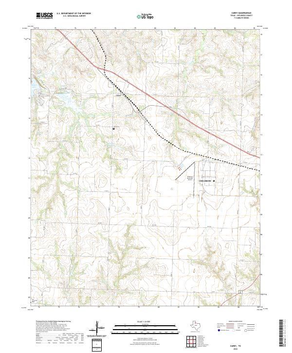
2022 Map of Carey
USGS Topo · Published 2022About this map
Childress and the surrounding plains of the Texas Panhandle appear here in a landscape defined by ranching infrastructure and seasonal watercourses. The settlement of Carey serves as a local focal point near the northwest corner, situated along the primary highway corridor. This area reflects the typical land-use patterns of Childress County, where a grid of secondary routes like FM 2042 and FM 164 connects scattered family landmarks and agricultural resources.
Find a feature on this map
33 named features on this map. Tap any name to fly to it.
Don’t see what you’re looking for? This feature index may not catch every label — zoom into the map to look around manually.
Map Details
Editions of this 2022 Carey Map
This is the sole edition of this map. No revisions or reprints were ever made.
Other maps of this area

1954 · Plainview
USGS Topo · 1:250,000

1958 · Plainview
USGS Topo · 1:250,000

1960 · Loco
USGS Topo · 1:62,500

1961 · Estelline
USGS Topo · 1:62,500

1967 · Buckle L Ranch
USGS Topo · 1:24,000

1967 · Tell South
USGS Topo · 1:24,000

1967 · Hell Roaring Creek
USGS Topo · 1:24,000

1967 · Tell North
USGS Topo · 1:24,000

1967 · Childress
USGS Topo · 1:24,000

1967 · Carey
USGS Topo · 1:24,000