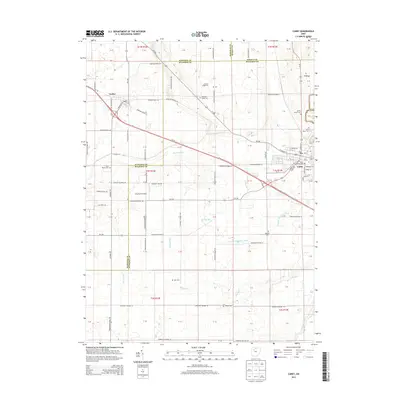
2013 Map of Carey
USGS Topo · Published 2013About this map
The village of Carey anchors the southeastern corner of this landscape, where the confluence of several major routes including Us-23 and Oh-15 meets a dense grid of residential streets like W Findlay St and W Brown Ave. The surrounding Wyandot and Hancock County countryside is a meticulously organized agricultural plain defined by a series of drainage improvements such as Bacher Ditch, Number Thirtytwo Ditch, and Spring Run. These waterways represent the essential infrastructure required to maintain the productivity of this fertile region.
Find a feature on this map
103 named features on this map. Tap any name to fly to it.
Don’t see what you’re looking for? This feature index may not catch every label — zoom into the map to look around manually.
Map Details
Editions of this 2013 Carey Map
This is the sole edition of this map. No revisions or reprints were ever made.
Other maps of this area

1901 · Fostoria
USGS Topo · 1:62,500

1903 · Fostoria
USGS Topo · 1:62,500

1903 · Findlay
USGS Topo · 1:62,500

1905 · Arlington
USGS Topo · 1:62,500

1907 · Arlington
USGS Topo · 1:24,000

1907 · Upper Sandusky
USGS Topo · 1:62,500

1950 · Marion
USGS Topo · 1:250,000

1956 · Toledo
USGS Topo · 1:250,000

1960 · Alvada
USGS Topo · 1:24,000
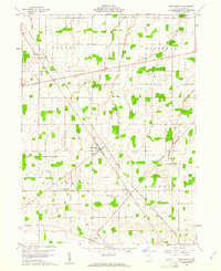
1960 · New Riegel
USGS Topo · 1:24,000