2023 Map of Carey
USGS Topo · Published 2023About this map
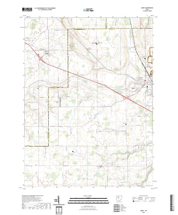
Carey and Vanlue anchor this portion of the northwestern Ohio landscape, where the flat terrain is defined by a dense network of agricultural drainage systems. These engineering efforts, seen in features like Brights Ditch, Stahl Ditch, and Number Thirtytwo Ditch, have historically reclaimed the area for farming. The map reveals a high concentration of rural burial sites, providing significant data for genealogists tracing families associated with Spring Grove Cem, Saint Marys Cem, and the dual sites of Lutheran Ridge Cem and Old Lutheran Ridge Cem.
Find a feature on this map
96 named features on this map. Tap any name to fly to it.
Don’t see what you’re looking for? This feature index may not catch every label — zoom into the map to look around manually.
Map Details
Editions of this 2023 Carey Map
This is the sole edition of this map. No revisions or reprints were ever made.