
1952 Map of Carlin
USGS Topo · Published 1954About this map
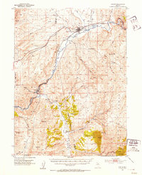
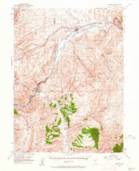
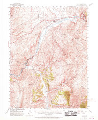
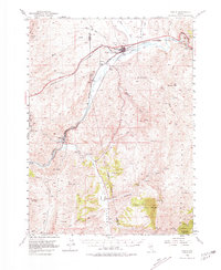
The Humboldt River carves a deep path through the Cortez Mountains in this early 1950s survey, illustrating the critical transportation corridor of northern Nevada. The town of Carlin serves as a central hub, where the Southern Pacific and Western Pacific railroads parallel the river's winding course. This alignment is further solidified by Route 40 and the historic path of the California Trail, which guided emigrants through the same terrain decades prior. To the south, the river enters the dramatic Palisade Canyon, passing through tunnels near the settlement of Gerald. The map details the scattered ranching and mining life of the era, from the Raine Ranch in Pine Valley to the Gray Eagle Mine near Ravens Nest. Small settlements and sidings like Safford, Vivian, and Tyrol mark the rail lines, reflecting the rural infrastructure of Elko and Eureka counties.
Find a feature on this map
48 named features on this map. Tap any name to fly to it.
Don’t see what you’re looking for? This feature index may not catch every label — zoom into the map to look around manually.
Map Details
Editions of this 1952 Carlin Map
5 editions found
Other maps of this area

1934 · Jiggs
USGS Topo · 1:125,000

1937 · Jiggs
USGS Topo · 1:125,000

1952 · Dixie Flats
USGS Topo · 1:62,500

1952 · Pine Valley
USGS Topo · 1:62,500

1955 · Winnemucca
USGS Topo · 1:250,000

1955 · Elko
USGS Topo · 1:250,000

1956 · Robinson Mtn
USGS Topo · 1:62,500

1957 · Frenchie Creek
USGS Topo · 1:62,500

1957 · Beowawe
USGS Topo · 1:62,500

1958 · Winnemucca
USGS Topo · 1:250,000