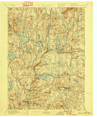
1894 Map of Carmel
USGS Topo · Published 1898About this map
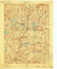
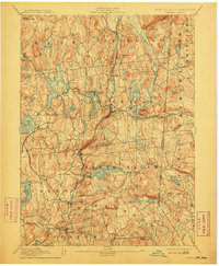
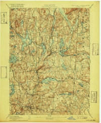
The Croton River and its managed tributaries dominate this landscape on the New York and Connecticut border during the late nineteenth century. At this moment in the region's development, the area serves as a critical watershed for the New York City water supply system, evidenced by the recently constructed West Branch Reservoir, Middle Branch Reservoir, and Titicus Reservoir. The industrial and transportation hub at Brewster highlights the convergence of the Harlem Div and the New York and New England RR, which supported local industry like the Tilly Foster Mine. Beyond the infrastructure of the reservoirs, the survey captures long-established rural centers such as North Salem, Somers, and South Salem, alongside natural water bodies like Lake Mahopac and Lake Gleneida. The map illustrates a transitional period where agricultural life and small-town commerce at Coles Mills and Farmer Mills existed alongside the massive engineering projects required to quench the thirst of the growing metropolis to the south.
Find a feature on this map
83 named features on this map. Tap any name to fly to it.
Don’t see what you’re looking for? This feature index may not catch every label — zoom into the map to look around manually.
Map Details
Editions of this 1894 Carmel Map
8 editions found

Other maps of this area

1892 · Stamford
USGS Topo · 1:62,500

1892 · West Point
USGS Topo · 1:62,500

1892 · Danbury
USGS Topo · 1:62,500

1892 · New Milford
USGS Topo · 1:62,500

1892 · Norwalk
USGS Topo · 1:62,500

1892 · Carmel
USGS Topo · 1:62,500

1892 · Tarrytown
USGS Topo · 1:62,500

1893 · Carmel
USGS Topo · 1:62,500

1893 · Stamford
USGS Topo · 1:62,500

1893 · Norwalk
USGS Topo · 1:62,500