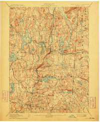
1894 Map of Carmel
USGS Topo · Published 1911About this map
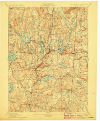
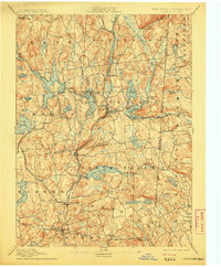
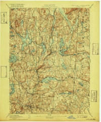
The Tilly Foster Mine and the complex waters of the Middle Branch Croton River anchor this late 19th-century landscape along the New York and Connecticut border. This era marks a significant transformation of the terrain as the N.Y. Aqueduct Commissioners developed an extensive reservoir system to supply the growing city to the south. Substantial engineering projects like the West Branch Reservoir, Titicus Reservoir, and Boyd Corners Reservoir dominate the valleys, altering the natural flow of the Croton River and its tributaries.
Find a feature on this map
90 named features on this map. Tap any name to fly to it.
Don’t see what you’re looking for? This feature index may not catch every label — zoom into the map to look around manually.
Map Details
Editions of this 1894 Carmel Map
8 editions found

Other maps of this area

1892 · Stamford
USGS Topo · 1:62,500

1892 · West Point
USGS Topo · 1:62,500

1892 · Danbury
USGS Topo · 1:62,500

1892 · New Milford
USGS Topo · 1:62,500

1892 · Norwalk
USGS Topo · 1:62,500

1892 · Carmel
USGS Topo · 1:62,500

1892 · Tarrytown
USGS Topo · 1:62,500

1893 · Carmel
USGS Topo · 1:62,500

1893 · Stamford
USGS Topo · 1:62,500

1893 · Norwalk
USGS Topo · 1:62,500