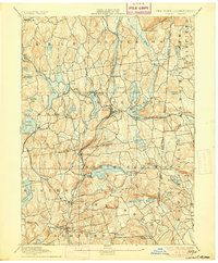
1894 Map of Carmel
USGS Topo · Published 1905About this map
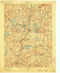
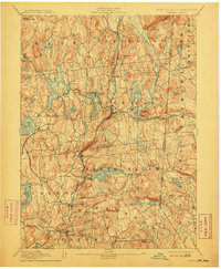
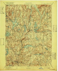
The Tilly Foster Mine and a complex network of reservoirs define this landscape in the late 19th century, reflecting the critical intersection of local industry and New York City’s growing water needs. The map captures the infrastructure of the Croton Watershed, showcasing expansive bodies of water such as the West Branch Reservoir, Middle Branch Reservoir, and Bog Brook Reservoir. These man-made features sit alongside established settlements like Carmel, Brewster, and the curiously named Sodom.
Find a feature on this map
88 named features on this map. Tap any name to fly to it.
Don’t see what you’re looking for? This feature index may not catch every label — zoom into the map to look around manually.
Map Details
Editions of this 1894 Carmel Map
8 editions found

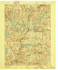
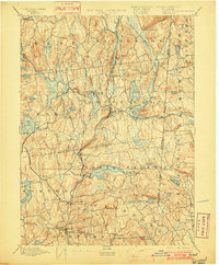
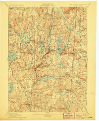
Other maps of this area

1892 · Stamford
USGS Topo · 1:62,500

1892 · West Point
USGS Topo · 1:62,500

1892 · Danbury
USGS Topo · 1:62,500

1892 · New Milford
USGS Topo · 1:62,500

1892 · Norwalk
USGS Topo · 1:62,500

1892 · Carmel
USGS Topo · 1:62,500

1892 · Tarrytown
USGS Topo · 1:62,500

1893 · Carmel
USGS Topo · 1:62,500

1893 · Stamford
USGS Topo · 1:62,500

1893 · Norwalk
USGS Topo · 1:62,500