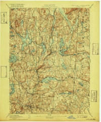
1894 Map of Carmel
USGS Topo · Published 1916About this map
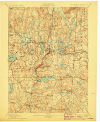
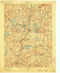
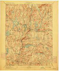
Tilly Foster Mine serves as a reminder of the iron industry that once anchored the economy of Southeast and Brewster at the end of the nineteenth century. This landscape is defined by its sophisticated water management system, shaped heavily by the N.Y. Aqueduct Commissioners to provide for distant needs. The sheet detail covers a dense network of reservoirs, including the Middle Branch Reservoir, West Branch Reservoir, and Titicus Reservoir, which submerged older land patterns in towns like North Salem and Carmel.
Find a feature on this map
87 named features on this map. Tap any name to fly to it.
Don’t see what you’re looking for? This feature index may not catch every label — zoom into the map to look around manually.
Map Details
Editions of this 1894 Carmel Map
8 editions found

Other maps of this area

1892 · Stamford
USGS Topo · 1:62,500

1892 · West Point
USGS Topo · 1:62,500

1892 · Danbury
USGS Topo · 1:62,500

1892 · New Milford
USGS Topo · 1:62,500

1892 · Norwalk
USGS Topo · 1:62,500

1892 · Carmel
USGS Topo · 1:62,500

1892 · Tarrytown
USGS Topo · 1:62,500

1893 · Carmel
USGS Topo · 1:62,500

1893 · Stamford
USGS Topo · 1:62,500

1893 · Norwalk
USGS Topo · 1:62,500