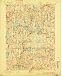
1894 Map of Carmel
USGS Topo · Published 1902About this map
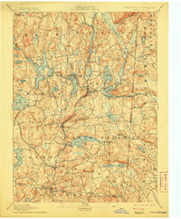
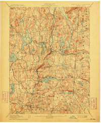
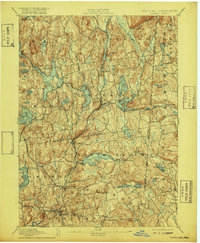
Tilly Foster Mine and the expanding reservoir system of the New York City watershed define this landscape at the close of the 19th century. This survey captures a critical period of infrastructure development where natural lakes like Lake Mahopac and Lake Gilead are joined by massive engineering projects, including the West Branch Reservoir and Middle Branch Reservoir. The rail network is equally dense, featuring the New York City and Northern R. R. and the Mahopac Branch providing essential links for the local economy and early suburban growth.
Find a feature on this map
89 named features on this map. Tap any name to fly to it.
Don’t see what you’re looking for? This feature index may not catch every label — zoom into the map to look around manually.
Map Details
Editions of this 1894 Carmel Map
8 editions found

Other maps of this area

1892 · Stamford
USGS Topo · 1:62,500

1892 · West Point
USGS Topo · 1:62,500

1892 · Danbury
USGS Topo · 1:62,500

1892 · New Milford
USGS Topo · 1:62,500

1892 · Norwalk
USGS Topo · 1:62,500

1892 · Carmel
USGS Topo · 1:62,500

1892 · Tarrytown
USGS Topo · 1:62,500

1893 · Carmel
USGS Topo · 1:62,500

1893 · Stamford
USGS Topo · 1:62,500

1893 · Norwalk
USGS Topo · 1:62,500