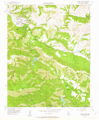
1956 Map of Carmel Valley
USGS Topo · Published 1963About this map
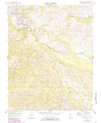
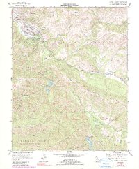
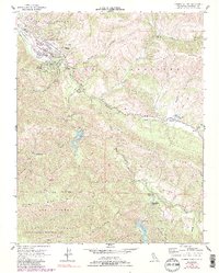
Carmel Valley is defined here by its mid-century development along the Carmel River, where the transition from agriculture to residential retreats is evident. The northern valley floor is anchored by Robles Del Rio and the Holman Ranch, while local infrastructure is marked by the Tularcitos School and several ranger stations, including the Tularcitos Guard Sta. Water management for Monterey County is a dominant theme, with the San Clemente Dam creating a significant reservoir and the Los Padres Dam positioned further upstream within the Los Padres National Forest.
Find a feature on this map
46 named features on this map. Tap any name to fly to it.
Don’t see what you’re looking for? This feature index may not catch every label — zoom into the map to look around manually.
Map Details
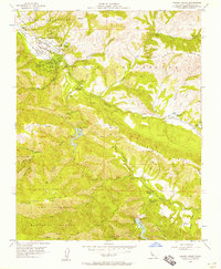
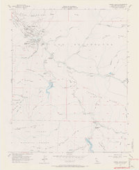
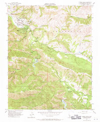
Editions of this 1956 Carmel Valley Map
7 editions found
Other maps of this area

1910 · Salinas
USGS Topo · 1:31,680

1912 · Salinas
USGS Topo · 1:62,500

1913 · Monterey
USGS Topo · 1:62,500

1918 · Point Sur
USGS Topo · 1:62,500

1920 · Jamesburg
USGS Topo · 1:48,000

1921 · Jamesburg
USGS Topo · 1:62,500

1925 · Point Sur
USGS Topo · 1:62,500

1939 · Jamesburg
USGS Topo · 1:62,500

1940 · Salinas
USGS Topo · 1:62,500

1940 · Jamesburg
USGS Topo · 1:62,500