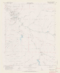
1956 Map of Carmel Valley
USGS Topo · Published 1971About this map
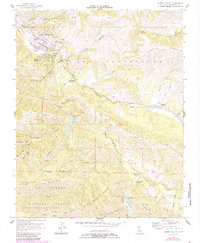
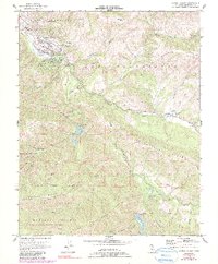
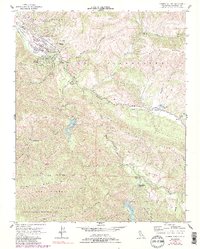
The Carmel River drainage serves as the primary corridor for development in the mid-1950s, anchoring a landscape where ranching history meets mid-century growth. High in the valley, the Holman Ranch and Robles Del Rio mark established hubs of local activity, while educational infrastructure like the Tularcitos School and Carmel Valley Sch serve the expanding community. Water management is a defining theme of the era, with both the San Clemente Dam and Los Padres Dam illustrated along the river's course to support the region's needs. Away from the valley floor, the terrain rises into the Los Padres National Forest, characterized by numerous named ridges such as Osborne Ridge and Buckeye Ridge. The map also details specific sites like Camp Stephani and Princes Camp, alongside administrative markers including the Carmel River Guard Sta.
Find a feature on this map
44 named features on this map. Tap any name to fly to it.
Don’t see what you’re looking for? This feature index may not catch every label — zoom into the map to look around manually.
Map Details
Editions of this 1956 Carmel Valley Map
7 editions found
Other maps of this area

1910 · Salinas
USGS Topo · 1:31,680

1912 · Salinas
USGS Topo · 1:62,500

1913 · Monterey
USGS Topo · 1:62,500

1918 · Point Sur
USGS Topo · 1:62,500

1920 · Jamesburg
USGS Topo · 1:48,000

1921 · Jamesburg
USGS Topo · 1:62,500

1925 · Point Sur
USGS Topo · 1:62,500

1939 · Jamesburg
USGS Topo · 1:62,500

1940 · Salinas
USGS Topo · 1:62,500

1940 · Jamesburg
USGS Topo · 1:62,500