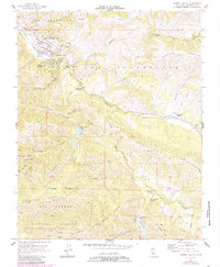
1956 Map of Carmel Valley
USGS Topo · Published 1984About this map
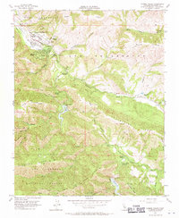
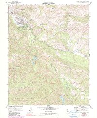
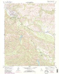
Carmel Valley and Robles Del Rio anchor this mid-century look at the winding course of the Carmel River as it cuts through the Santa Lucia Range. The 1956 field survey, updated with 1981 aerial data, reveals a landscape defined by ranching and water management. Early educational centers like Carmel Valley Sch and Tularcitos School serve the growing communities, while the presence of Holman Ranch and Tularcitos Ranch highlights the area's agricultural roots. The map traces the critical role of the river through infrastructure like the San Clemente Dam and Los Padres Dam. Toward the south, the terrain shifts into the protected expanse of the Los Padres National Forest and Ventana National Wilderness Area, where trails like the Cachagua Grade navigate the steep ridges and canyons.
Find a feature on this map
51 named features on this map. Tap any name to fly to it.
Don’t see what you’re looking for? This feature index may not catch every label — zoom into the map to look around manually.
Map Details
Editions of this 1956 Carmel Valley Map
7 editions found
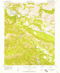
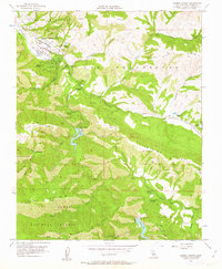
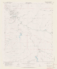
Other maps of this area

1910 · Salinas
USGS Topo · 1:31,680

1912 · Salinas
USGS Topo · 1:62,500

1913 · Monterey
USGS Topo · 1:62,500

1918 · Point Sur
USGS Topo · 1:62,500

1920 · Jamesburg
USGS Topo · 1:48,000

1921 · Jamesburg
USGS Topo · 1:62,500

1925 · Point Sur
USGS Topo · 1:62,500

1939 · Jamesburg
USGS Topo · 1:62,500

1940 · Salinas
USGS Topo · 1:62,500

1940 · Jamesburg
USGS Topo · 1:62,500