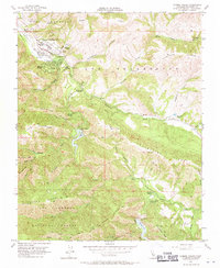
1956 Map of Carmel Valley
USGS Topo · Published 1971About this map
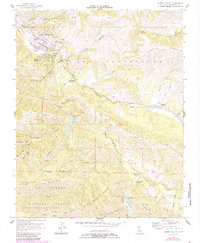
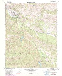
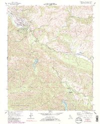
Carmel Valley and the neighboring Robles Del Rio serve as the primary hubs of settlement along the winding course of the Carmel River in the mid-1950s. The landscape is defined by the complex water infrastructure of the era, notably the San Clemente Dam and the Los Padres Dam located further upstream within the Los Padres National Forest. These reservoirs were critical to the region's development, as seen by the network of canyons and ridges like Klondike Canyon and Osborne Ridge that hem in the valley.
Find a feature on this map
45 named features on this map. Tap any name to fly to it.
Don’t see what you’re looking for? This feature index may not catch every label — zoom into the map to look around manually.
Map Details
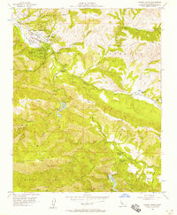
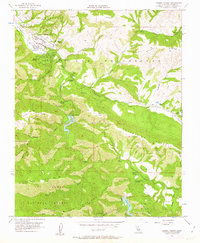
Editions of this 1956 Carmel Valley Map
7 editions found
Other maps of this area

1910 · Salinas
USGS Topo · 1:31,680

1912 · Salinas
USGS Topo · 1:62,500

1913 · Monterey
USGS Topo · 1:62,500

1918 · Point Sur
USGS Topo · 1:62,500

1920 · Jamesburg
USGS Topo · 1:48,000

1921 · Jamesburg
USGS Topo · 1:62,500

1925 · Point Sur
USGS Topo · 1:62,500

1939 · Jamesburg
USGS Topo · 1:62,500

1940 · Salinas
USGS Topo · 1:62,500

1940 · Jamesburg
USGS Topo · 1:62,500