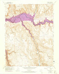
1954 Map of Carpenter Ridge
USGS Topo · Published 1973About this map
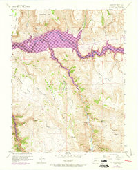
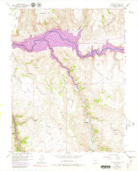
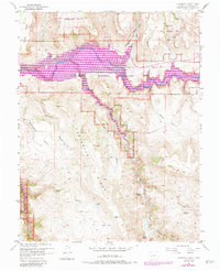
Blue Mesa Reservoir dominates the northern landscape of this mid-century survey, its deep purple revisions showing the extent of water backing up behind the dam across the Gunnison River and into the Cebolla Creek arm. The terrain is defined by the massive uplift of Carpenter Ridge and Sapinero Mesa, which flank the narrow, deeply cut river valleys. This map captures a significant moment of change as the rising waters began to alter the accessibility of the region's ranching and mining sites.
Find a feature on this map
23 named features on this map. Tap any name to fly to it.
Don’t see what you’re looking for? This feature index may not catch every label — zoom into the map to look around manually.
Map Details
Editions of this 1954 Carpenter Ridge Map
8 editions found
Other maps of this area

1908 · Uncompahgre
USGS Topo · 1:125,000

1911 · Uncompahgre
USGS Topo · 1:125,000

1954 · Iola
USGS Topo · 1:24,000

1954 · Mc Intosh Mountain
USGS Topo · 1:24,000

1954 · West Elk Peak SW
USGS Topo · 1:24,000

1954 · Little Soap Park
USGS Topo · 1:24,000

1954 · Cebolla
USGS Topo · 1:24,000

1954 · Sapinero
USGS Topo · 1:24,000

1954 · Gateview
USGS Topo · 1:24,000

1956 · Montrose
USGS Topo · 1:250,000