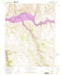
1954 Map of Carpenter Ridge
USGS Topo · Published 1980About this map
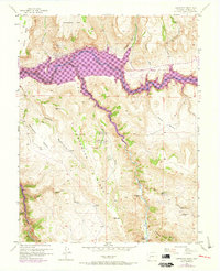
Blue Mesa Reservoir dominates this landscape along the Gunnison River, reflecting the significant hydrological changes in this part of Colorado during the mid-20th century. The inundation of the river valley is starkly contrasted against the steep, high-elevation terrain of Carpenter Ridge and Sapinero Mesa. Local history is preserved through scattered family-named landmarks like the Old Haines Place and Holman Ranch, which sit near the winding course of Cebolla Creek. The map identifies the Lily-Belle Mine, noted as abandoned by the 1950s field check, providing a specific point of interest for mining history researchers. The presence of several benchmarked summits, such as VABM 8926 Cebolla and VABM 8883 Wildcat, illustrates the precision of the 1954 surveying effort across this complex high-altitude basin.
Find a feature on this map
24 named features on this map. Tap any name to fly to it.
Don’t see what you’re looking for? This feature index may not catch every label — zoom into the map to look around manually.
Map Details
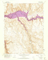
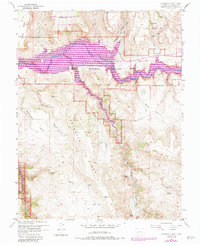
Editions of this 1954 Carpenter Ridge Map
8 editions found
Other maps of this area

1908 · Uncompahgre
USGS Topo · 1:125,000

1911 · Uncompahgre
USGS Topo · 1:125,000

1954 · Iola
USGS Topo · 1:24,000

1954 · Mc Intosh Mountain
USGS Topo · 1:24,000

1954 · West Elk Peak SW
USGS Topo · 1:24,000

1954 · Little Soap Park
USGS Topo · 1:24,000

1954 · Cebolla
USGS Topo · 1:24,000

1954 · Sapinero
USGS Topo · 1:24,000

1954 · Gateview
USGS Topo · 1:24,000

1956 · Montrose
USGS Topo · 1:250,000