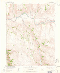
1954 Map of Cebolla
USGS Topo · Published 1963About this map
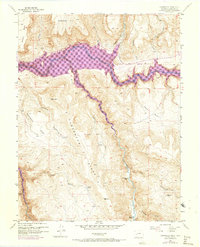
Gunnison River and Cebolla Creek converge in this high-elevation landscape, where 1950s ranching and recreation intersect. The map documents several established family homesteads and lodges, including the Moncrief Ranch near the northern confluence and the Henderson Place further upstream. The presence of Trout Haven and Tex Lodge along the river suggests the area's mid-century identity as a destination for anglers and outdoorsmen.
Find a feature on this map
32 named features on this map. Tap any name to fly to it.
Don’t see what you’re looking for? This feature index may not catch every label — zoom into the map to look around manually.
Map Details
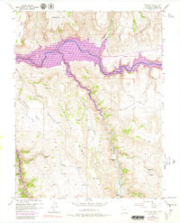
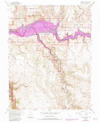
Editions of this 1954 Cebolla Map
8 editions found
Other maps of this area

1908 · Uncompahgre
USGS Topo · 1:125,000

1911 · Uncompahgre
USGS Topo · 1:125,000

1954 · Iola
USGS Topo · 1:24,000

1954 · Mc Intosh Mountain
USGS Topo · 1:24,000

1954 · West Elk Peak SW
USGS Topo · 1:24,000

1954 · Little Soap Park
USGS Topo · 1:24,000

1954 · Cebolla
USGS Topo · 1:24,000

1954 · Sapinero
USGS Topo · 1:24,000

1954 · Gateview
USGS Topo · 1:24,000

1956 · Montrose
USGS Topo · 1:250,000