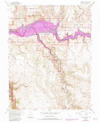
1954 Map of Carpenter Ridge
USGS Topo · Published 1984About this map
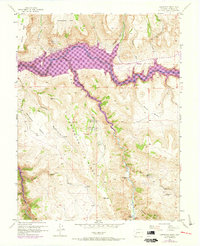
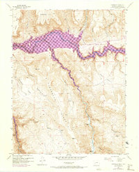
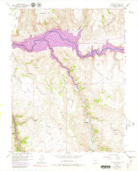
The Gunnison River corridor and its surrounding canyonlands dominate this landscape, where the waters of the Blue Mesa Reservoir fill the deep valleys at the heart of the Curecanti National Recreation Area. These 1954 surveys, updated through the early 1980s, document a transition in land use as the reservoir reshaped the river valley while the surrounding uplands like Carpenter Ridge and Sapinero Mesa remained rugged and sparsely populated. For those tracing regional ranching history, the map preserves locations such as Holman Ranch and the Old Haines Place. Industrial activity is represented by the Lily Belle Mine (Inactive) near Wildcat Gulch. The terrain is characterized by steep drainages like Fourmile Gulch and Cebolla Creek, emphasizing the isolation of the high plateaus above the river basin.
Find a feature on this map
25 named features on this map. Tap any name to fly to it.
Don’t see what you’re looking for? This feature index may not catch every label — zoom into the map to look around manually.
Map Details
Editions of this 1954 Carpenter Ridge Map
8 editions found
Other maps of this area

1908 · Uncompahgre
USGS Topo · 1:125,000

1911 · Uncompahgre
USGS Topo · 1:125,000

1954 · Iola
USGS Topo · 1:24,000

1954 · Mc Intosh Mountain
USGS Topo · 1:24,000

1954 · West Elk Peak SW
USGS Topo · 1:24,000

1954 · Little Soap Park
USGS Topo · 1:24,000

1954 · Cebolla
USGS Topo · 1:24,000

1954 · Sapinero
USGS Topo · 1:24,000

1954 · Gateview
USGS Topo · 1:24,000

1956 · Montrose
USGS Topo · 1:250,000