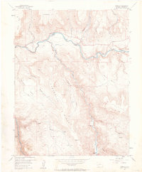
1954 Map of Cebolla
USGS Topo · Published 1963About this map
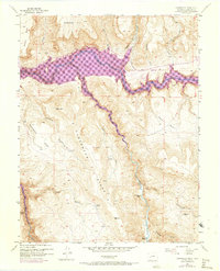
Gunnison River and Cebolla Creek converge in this mid-century look at the Colorado highlands. The map highlights a remote pastoral and recreational landscape, where the small settlement of Cebolla and the Moncrief Ranch sit along the riverbanks. The presence of Tex Lodge and Trout Haven suggests the area's established role as a destination for anglers and outdoorsmen by the early 1950s. High-altitude terrain dominates the view, defined by the massive Carpenter Ridge and Sapinero Mesa, which overlook a network of deep gulches and basins.
Find a feature on this map
30 named features on this map. Tap any name to fly to it.
Don’t see what you’re looking for? This feature index may not catch every label — zoom into the map to look around manually.
Map Details
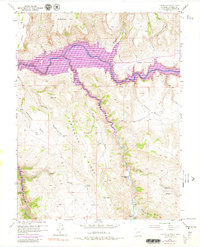
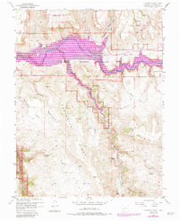
Editions of this 1954 Cebolla Map
8 editions found
Other maps of this area

1908 · Uncompahgre
USGS Topo · 1:125,000

1911 · Uncompahgre
USGS Topo · 1:125,000

1954 · Iola
USGS Topo · 1:24,000

1954 · Mc Intosh Mountain
USGS Topo · 1:24,000

1954 · West Elk Peak SW
USGS Topo · 1:24,000

1954 · Little Soap Park
USGS Topo · 1:24,000

1954 · Cebolla
USGS Topo · 1:24,000

1954 · Sapinero
USGS Topo · 1:24,000

1954 · Gateview
USGS Topo · 1:24,000

1956 · Montrose
USGS Topo · 1:250,000