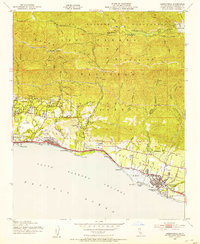
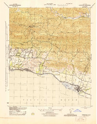
1952 Map of Carpinteria
USGS Topo · Published 1953About this map
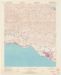
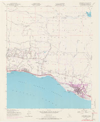
The Santa Ynez Mountains dominate the landscape of this 1950s coastal survey, with the Camino Cielo following the high ridges above the Santa Barbara Channel. Along the narrow coastal shelf, the Southern Pacific Railroad and U. S. Highway 101 link the growing settlements of Montecito, Summerland, and Carpinteria. Coastal industry is evident in the Oil Wells at Summerland and the rail-dependent infrastructure at Ortega Siding. The map captures a moment when the inland canyons, such as Toro Canyon Creek and Santa Monica Creek, remained largely undeveloped within the Los Padres National Forest. Local history is preserved in the locations of the Carpinteria Cemetery, Crane Country Day Sch, and the reservoir system supplying the coastal estates, including Jameson Lake and the various water tanks scattered across the foothills.
Find a feature on this map
47 named features on this map. Tap any name to fly to it.
Don’t see what you’re looking for? This feature index may not catch every label — zoom into the map to look around manually.
Map Details
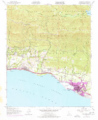
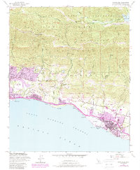
Editions of this 1952 Carpinteria Map
8 editions found
Other maps of this area

1902 · Santa Ynez
USGS Topo · 1:125,000

1903 · Mt. Pinos
USGS Topo · 1:125,000

1904 · Ventura
USGS Topo · 1:62,500

1905 · Santa Ynez
USGS Topo · 1:125,000

1941 · Ventura
USGS Topo · 1:62,500

1942 · Little Pine Mountain
USGS Topo · 1:24,000

1943 · Old Man Mountain
USGS Topo · 1:24,000

1943 · Hildreth Peak
USGS Topo · 1:24,000

1944 · Santa Barbara
USGS Topo · 1:31,680
1944 · Carpinteria
USGS Topo · 1:31,680