2024 Map of Carter
USGS Topo · Published 2024About this map
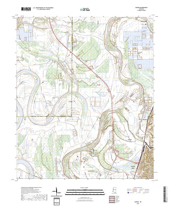
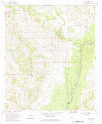
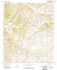
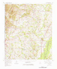
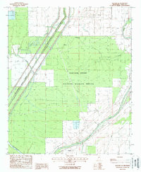
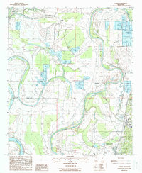
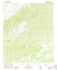
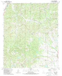
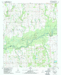
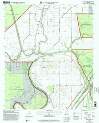
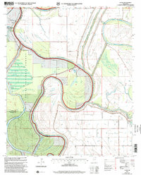
The Yazoo River defines the landscape of this region, winding through the alluvial plains of the Mississippi Delta near the northern edge of Yazoo City. Large portions of the territory are dedicated to conservation, with the Panther Swamp National Wildlife Refuge and the Theodore Roosevelt National Wildlife Refuge occupying the wetlands and forested bottomlands. The map reveals the intricate network of levees, including the Yazoo Levee Rd, designed to manage the river's influence on the surrounding agricultural fields. Small agricultural settlements like Carter, Belle Prairie, and Renshaw are connected by a grid of rural roads such as Good Hope Rd and 5 Mile Rd. For genealogists, the map identifies local burial sites like Phillips Cem and Brown Cem, while transportation history is preserved through labels like Gassaway Ferry and the rail-oriented Yazoo Junction.
Find a feature on this map
51 named features on this map. Tap any name to fly to it.
Don’t see what you’re looking for? This feature index may not catch every label — zoom into the map to look around manually.
Map Details
Editions of this 2024 Carter Map
This is the sole edition of this map. No revisions or reprints were ever made.
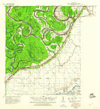
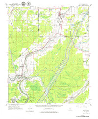
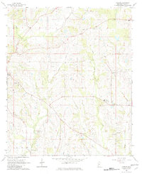
Historical Maps of Crump Through Time
28 maps found
1940 Mechanicsburg
Yazoo County, MS
1961 Bayland
Yazoo County, MS

1963 Mechanicsburg
Yazoo County, MS
1964 Linwood
Yazoo County, MS
1964 Vaughan
Yazoo County, MS
1964 Zeiglerville
Yazoo County, MS
1966 Vaughan
Yazoo County, MS
1988 Bayland Se
Yazoo County, MS
1988 Carter
Yazoo County, MS
1988 Coxs Ferry
Yazoo County, MS
1988 Holly Bluff
Yazoo County, MS
1988 Lucre
Yazoo County, MS
1988 Phoenix
Yazoo County, MS
1988 Tinsley
Yazoo County, MS
1989 Berryville
Yazoo County, MS
2000 Holly Bluff
Yazoo County, MS
2000 Lucre
Yazoo County, MS
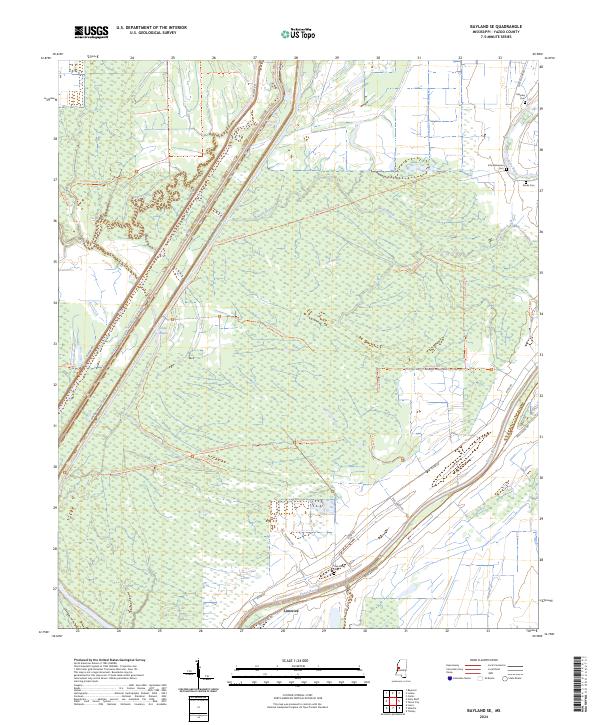
2024 Bayland SE
Yazoo County, MS
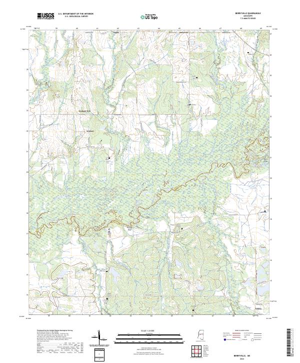
2024 Berryville
Yazoo County, MS
2024 Carter
Yazoo County, MS
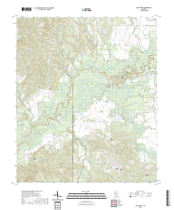
2024 Coxs Ferry
Yazoo County, MS
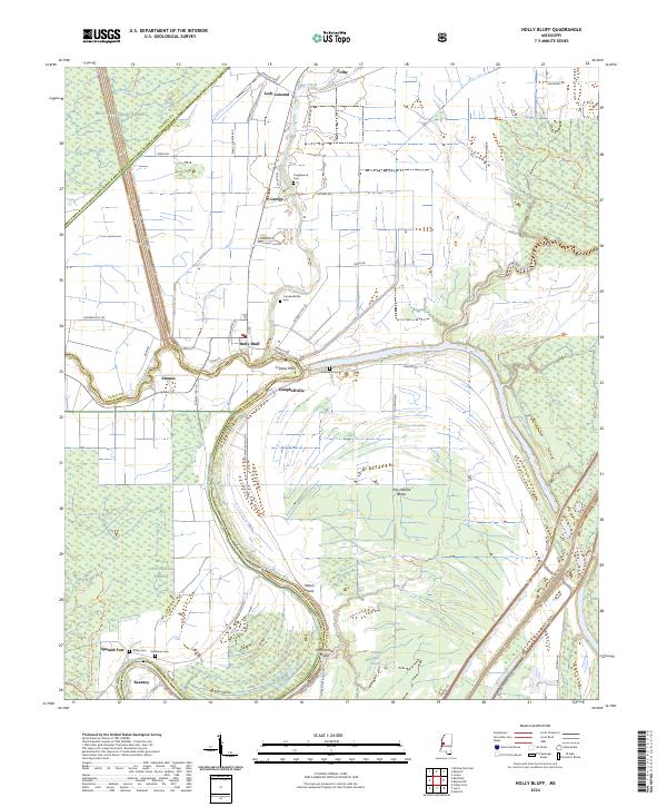
2024 Holly Bluff
Yazoo County, MS
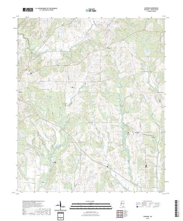
2024 Linwood
Yazoo County, MS
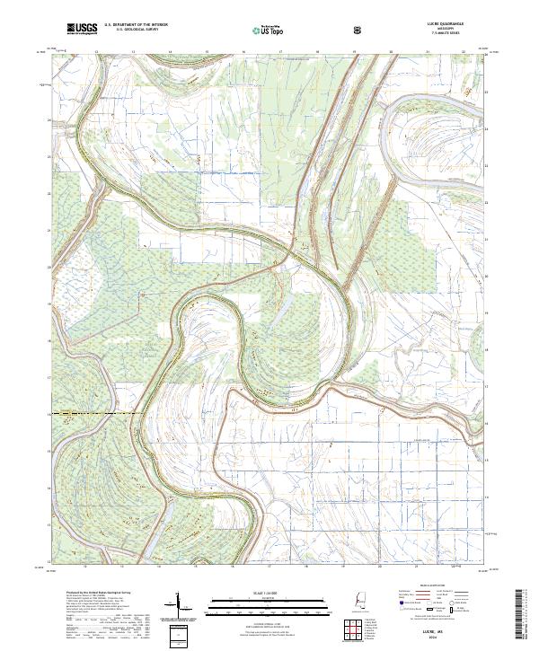
2024 Lucre
Yazoo County, MS
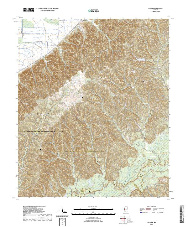
2024 Phoenix
Yazoo County, MS
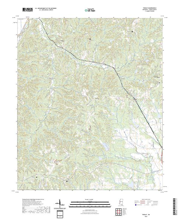
2024 Tinsley
Yazoo County, MS
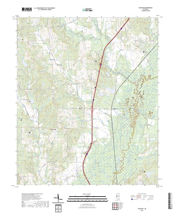
2024 Vaughan
Yazoo County, MS
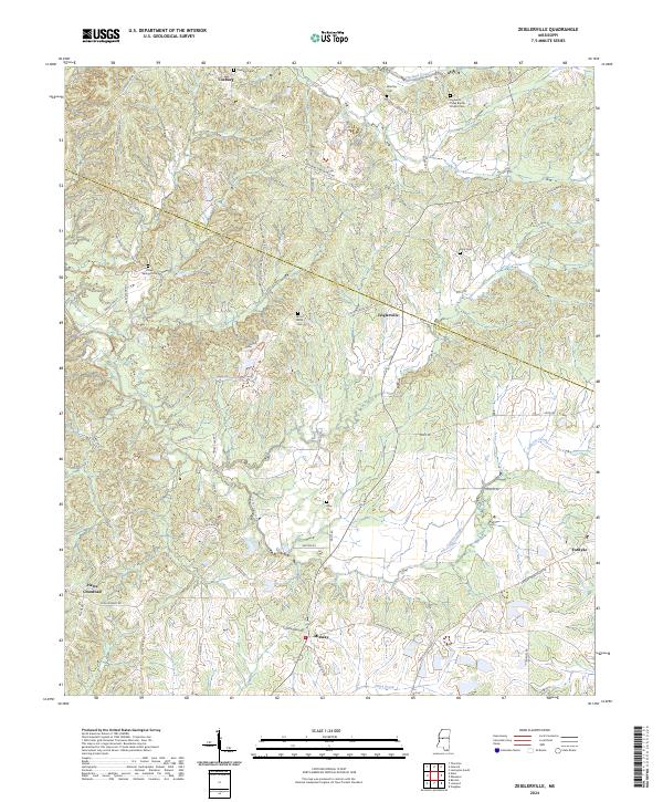
2024 Zeiglerville
Yazoo County, MS