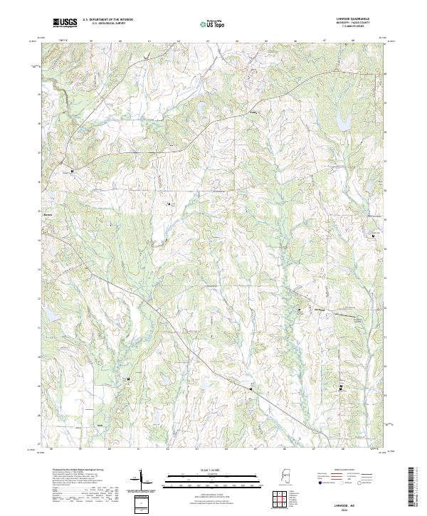
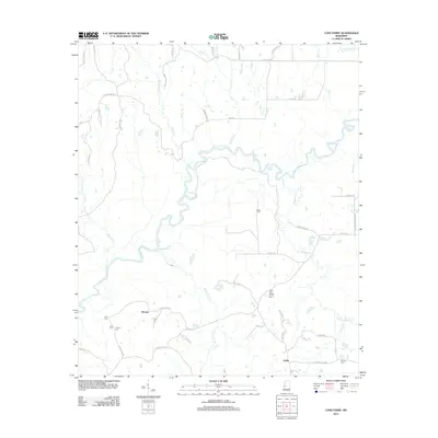
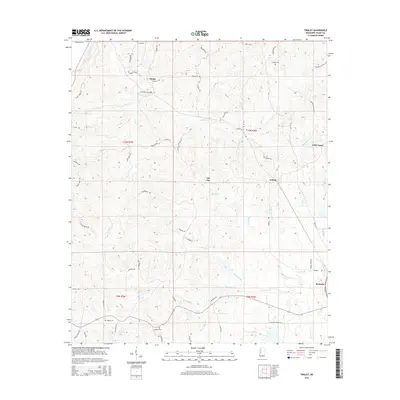
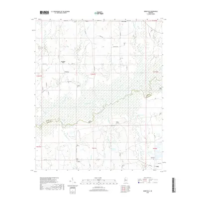
2024 Map of Linwood
USGS Topo · Published 2024About this map
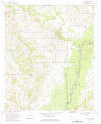
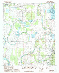
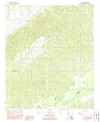
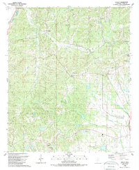
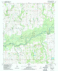
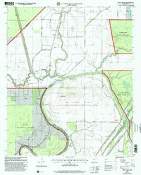
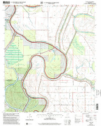
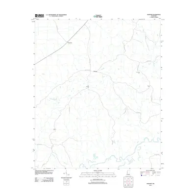
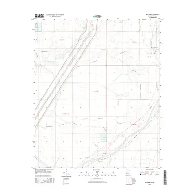
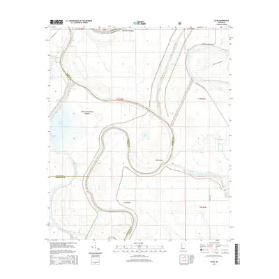
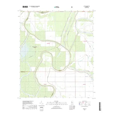
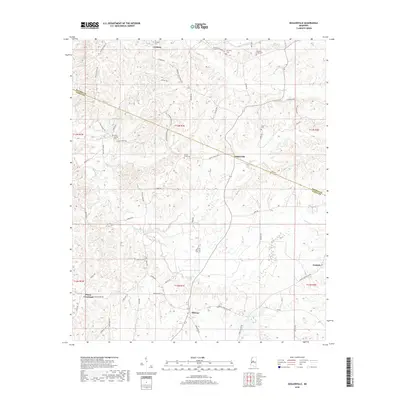
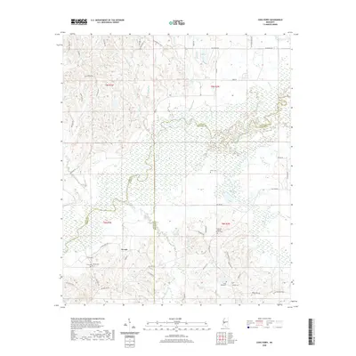
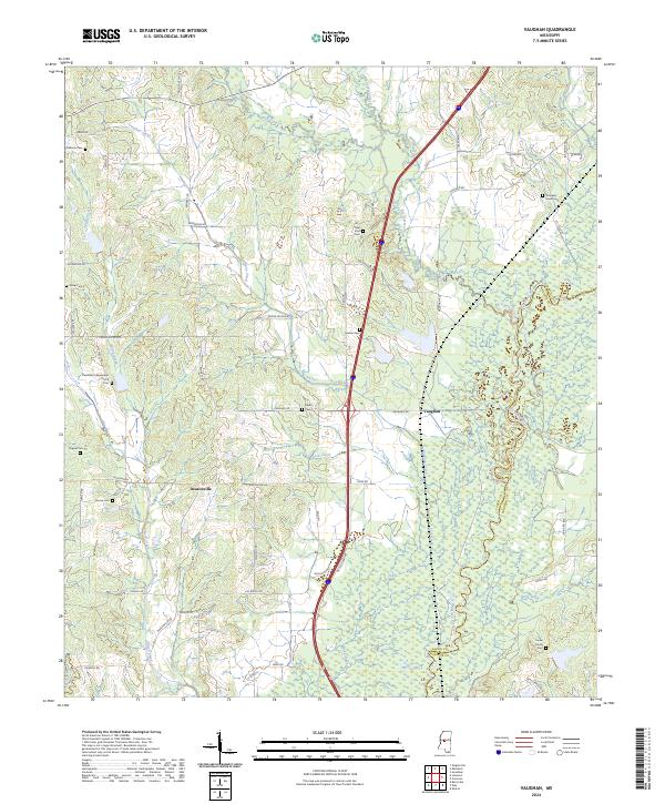
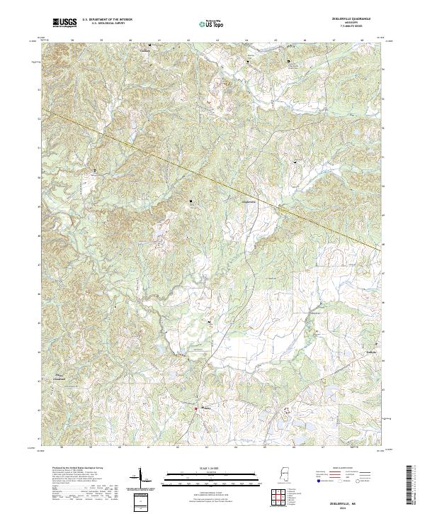
Benton and the surrounding Yazoo County landscape are defined by a complex network of creeks and rural family homesteads in this 2024 survey. The topography is marked by the winding paths of Cypress Creek, Piney Creek, and Pickett Creek, which carve through the terrain between small settlements like Linwood and Evans. This modern record of the area preserves the locations of numerous historic burial sites, including the Mount Zion Cem, Pickett Cem, and Bull Cem, providing essential geographic context for genealogists. The presence of Linwood Airport near the intersection of Vaughan Rd and Black Jack Rd highlights the local infrastructure, while the small community of Nod sits at the southern edge of the quadrangle. The map captures a transition from concentrated townships to dispersed agricultural land, linked by historically named routes such as Old Hwy 16 and Wildwood Rd.
Find a feature on this map
64 named features on this map. Tap any name to fly to it.
Don’t see what you’re looking for? This feature index may not catch every label — zoom into the map to look around manually.
Map Details
Editions of this 2024 Linwood Map
This is the sole edition of this map. No revisions or reprints were ever made.
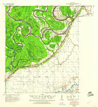
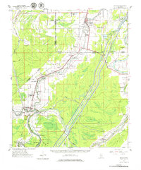
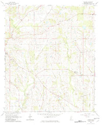
Historical Maps of Evans Through Time
72 maps found
1940 Mechanicsburg
Yazoo County, MS
1961 Bayland
Yazoo County, MS

1963 Mechanicsburg
Yazoo County, MS
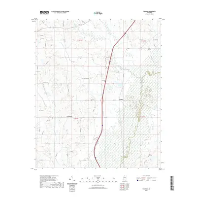
1964 Linwood
Yazoo County, MS
1964 Vaughan
Yazoo County, MS
1964 Zeiglerville
Yazoo County, MS
1966 Vaughan
Yazoo County, MS
1988 Bayland Se
Yazoo County, MS
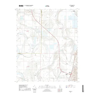
1988 Carter
Yazoo County, MS
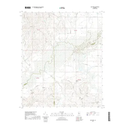
1988 Coxs Ferry
Yazoo County, MS
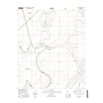
1988 Holly Bluff
Yazoo County, MS
1988 Lucre
Yazoo County, MS
1988 Phoenix
Yazoo County, MS
1988 Tinsley
Yazoo County, MS
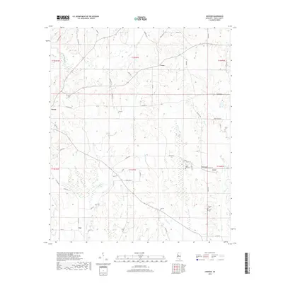
1989 Berryville
Yazoo County, MS
2000 Holly Bluff
Yazoo County, MS
2000 Lucre
Yazoo County, MS
2012 Bayland SE
Yazoo County, MS
2012 Berryville
Yazoo County, MS
2012 Carter
Yazoo County, MS
2012 Coxs Ferry
Yazoo County, MS
2012 Holly Bluff
Yazoo County, MS
2012 Linwood
Yazoo County, MS
2012 Lucre
Yazoo County, MS
2012 Phoenix
Yazoo County, MS
2012 Tinsley
Yazoo County, MS
2012 Vaughan
Yazoo County, MS
2012 Zeiglerville
Yazoo County, MS
2015 Bayland SE
Yazoo County, MS
2015 Berryville
Yazoo County, MS
2015 Carter
Yazoo County, MS
2015 Coxs Ferry
Yazoo County, MS
2015 Holly Bluff
Yazoo County, MS
2015 Linwood
Yazoo County, MS
2015 Lucre
Yazoo County, MS
2015 Phoenix
Yazoo County, MS
2015 Tinsley
Yazoo County, MS
2015 Vaughan
Yazoo County, MS
2015 Zeiglerville
Yazoo County, MS
2018 Bayland SE
Yazoo County, MS
2018 Berryville
Yazoo County, MS
2018 Carter
Yazoo County, MS
2018 Coxs Ferry
Yazoo County, MS

2018 Holly Bluff
Yazoo County, MS
2018 Linwood
Yazoo County, MS
2018 Lucre
Yazoo County, MS
2018 Phoenix
Yazoo County, MS
2018 Tinsley
Yazoo County, MS
2018 Vaughan
Yazoo County, MS
2018 Zeiglerville
Yazoo County, MS
2020 Bayland SE
Yazoo County, MS
2020 Berryville
Yazoo County, MS
2020 Carter
Yazoo County, MS
2020 Coxs Ferry
Yazoo County, MS
2020 Linwood
Yazoo County, MS
2020 Phoenix
Yazoo County, MS
2020 Tinsley
Yazoo County, MS
2020 Vaughan
Yazoo County, MS
2020 Zeiglerville
Yazoo County, MS
2021 Holly Bluff
Yazoo County, MS
2021 Lucre
Yazoo County, MS
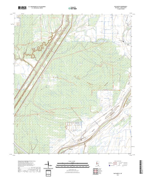
2024 Bayland SE
Yazoo County, MS
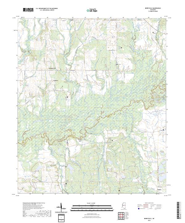
2024 Berryville
Yazoo County, MS
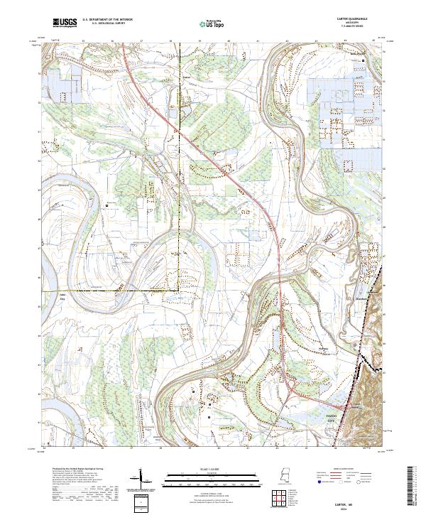
2024 Carter
Yazoo County, MS
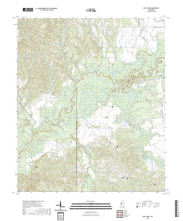
2024 Coxs Ferry
Yazoo County, MS
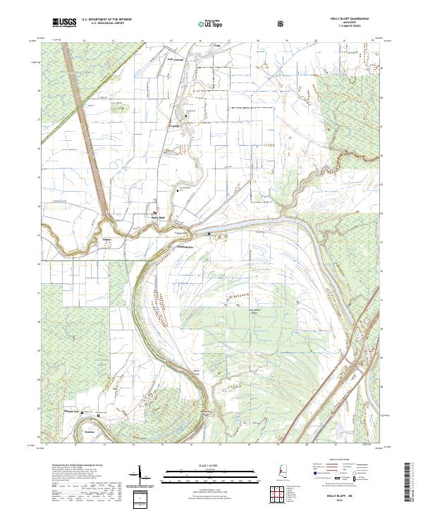
2024 Holly Bluff
Yazoo County, MS
2024 Linwood
Yazoo County, MS
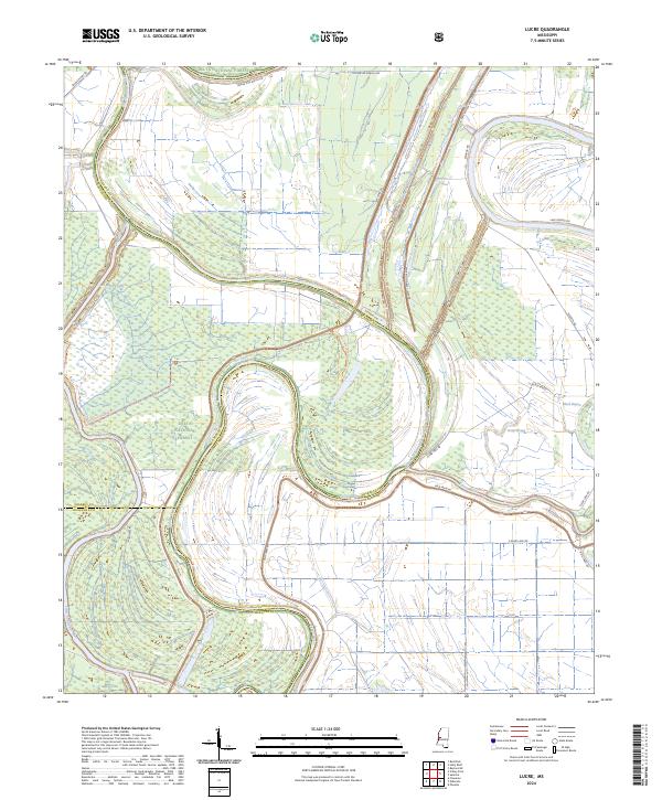
2024 Lucre
Yazoo County, MS
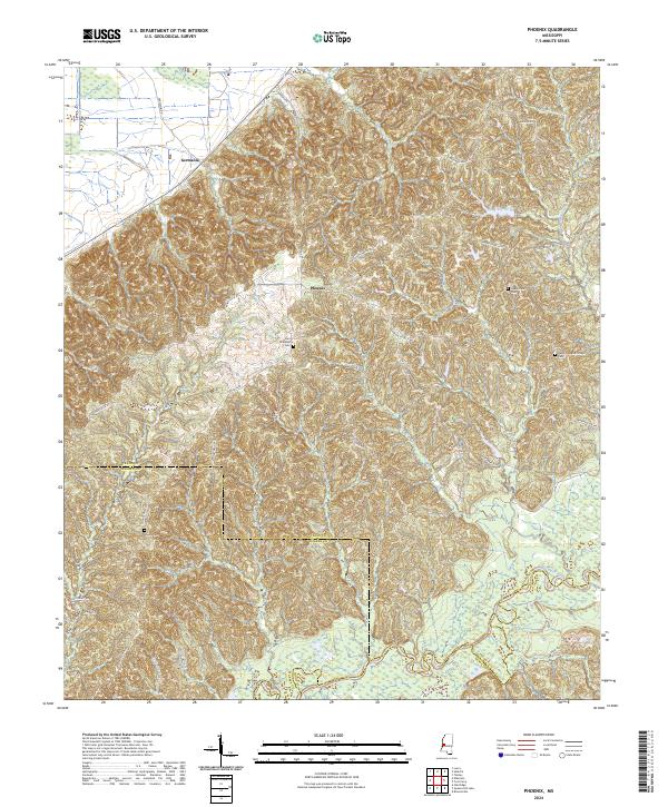
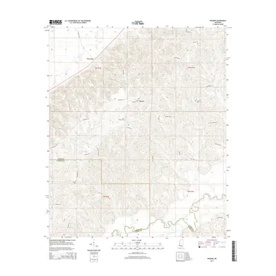
2024 Phoenix
Yazoo County, MS
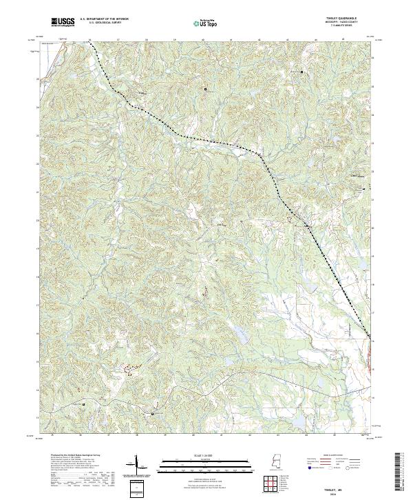
2024 Tinsley
Yazoo County, MS
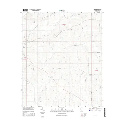
2024 Vaughan
Yazoo County, MS
2024 Zeiglerville
Yazoo County, MS