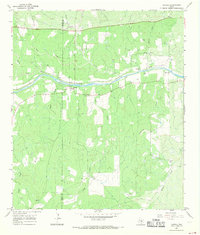
1967 Map of Castell
USGS Topo · Published 1969About this map
The Llano River winds through the heart of this Central Texas landscape, dividing the borderlands of Mason and Llano Counties. The small settlement of Castell sits on the south bank, serving as a focal point for a community defined by its proximity to the water and its agricultural heritage. The map reveals a dense concentration of family and community burial grounds, illustrating the deeply rooted lineage of the area.
Find a feature on this map
30 named features on this map. Tap any name to fly to it.
Don’t see what you’re looking for? This feature index may not catch every label — zoom into the map to look around manually.
Map Details
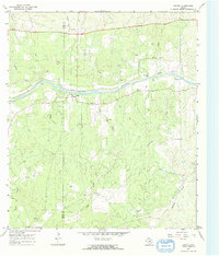
Editions of this 1967 Castell Map
2 editions found
Other maps of this area

1887 · Llano
USGS Topo · 1:125,000

1887 · Mason
USGS Topo · 1:125,000

1894 · Mason
USGS Topo · 1:125,000

1894 · Llano
USGS Topo · 1:125,000

1904 · Llano
USGS Topo · 1:125,000

1909 · Llano
USGS Topo · 1:125,000

1918 · Llano
USGS Topo · 1:125,000

1954 · Llano
USGS Topo · 1:250,000

1955 · Llano
USGS Topo · 1:250,000

1955 · Valley Spring
USGS Topo · 1:24,000