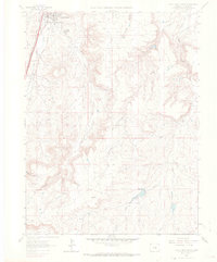
1965 Map of Castle Rock South
USGS Topo · Published 1966About this map
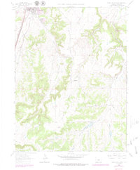
Castle Rock serves as the focal point of this mid-1960s survey, showing a landscape defined by its transition from industrial extraction to a regional hub. The town's infrastructure is anchored by the dual presence of the Atohison Topeka and Santa Fe and the Denver and Rio Grande Western railroads, which parallel the course of East Plum Creek. Beyond the municipal center and the County Fairground, the terrain is marked by significant extractive sites, including several Quarries, a Gravel Pit, and Claypits, hinting at the geological resources that fueled local industry.
Find a feature on this map
25 named features on this map. Tap any name to fly to it.
Don’t see what you’re looking for? This feature index may not catch every label — zoom into the map to look around manually.
Map Details
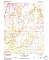
Editions of this 1965 Castle Rock South Map
6 editions found
Other maps of this area

1894 · Castle Rock
USGS Topo · 1:125,000

1913 · Castle Rock
USGS Topo · 1:125,000

1939 · Elizabeth
USGS Topo · 1:62,500

1940 · Elbert
USGS Topo · 1:62,500

1940 · Castle Rock
USGS Topo · 1:62,500

1944 · Elbert
USGS Topo · 1:62,500

1945 · Castle Rock
USGS Topo · 1:62,500

1945 · Elizabeth
USGS Topo · 1:62,500

1953 · Denver
USGS Topo · 1:250,000

1954 · Cherry Valley School
USGS Topo · 1:24,000