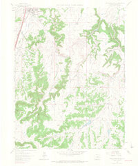
1965 Map of Castle Rock South
USGS Topo · Published 1966About this map
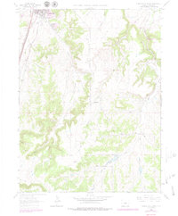
Castle Rock serves as the focal point of this mid-1960s survey, situated where the Atchison Topeka and Santa Fe and Denver and Rio Grande Western railroads parallel the mountain front. The landscape is defined by a dense network of drainage systems such as Sellers Gulch and Mitchell Gulch, which feed into the prominent Cherry Creek corridor. While the town center shows established blocks and the County Fairground, the surrounding terrain is heavily shaped by extractive industries, evidenced by various Quarries, a Gravel Pit, and Claypits. To the southeast, the terrain rises toward Hunt Mtn and the headwaters of Upper Lake Gulch. Local infrastructure of the era is represented by the Arapahoe Canal and early recreational spots like the Picnic Area near the confluence of Falls Creek.
Find a feature on this map
29 named features on this map. Tap any name to fly to it.
Don’t see what you’re looking for? This feature index may not catch every label — zoom into the map to look around manually.
Map Details
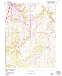
Editions of this 1965 Castle Rock South Map
6 editions found
Other maps of this area

1894 · Castle Rock
USGS Topo · 1:125,000

1913 · Castle Rock
USGS Topo · 1:125,000

1939 · Elizabeth
USGS Topo · 1:62,500

1940 · Elbert
USGS Topo · 1:62,500

1940 · Castle Rock
USGS Topo · 1:62,500

1944 · Elbert
USGS Topo · 1:62,500

1945 · Castle Rock
USGS Topo · 1:62,500

1945 · Elizabeth
USGS Topo · 1:62,500

1953 · Denver
USGS Topo · 1:250,000

1954 · Cherry Valley School
USGS Topo · 1:24,000