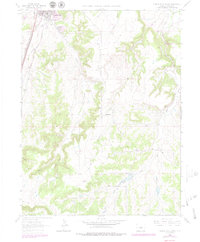
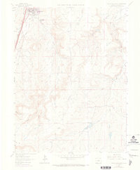
1965 Map of Castle Rock South
USGS Topo · Published 1979About this map
The town of Castle Rock serves as the focal point for this mid-1960s survey, showing a period of transition as development begins to stretch south along the Denver and Rio Grande Western and the Atchison Topeka and Santa Fe railroad corridors. The landscape is defined by the deep drainage networks of East Plum Creek and Cherry Creek, which have carved the terrain into a series of prominent mesas and gulches. The presence of numerous Quarries and a Gravel Pit near the town center underscores the area's long-standing connection to local stone extraction and masonry.
Find a feature on this map
24 named features on this map. Tap any name to fly to it.
Don’t see what you’re looking for? This feature index may not catch every label — zoom into the map to look around manually.
Map Details
Editions of this 1965 Castle Rock South Map
6 editions found
Other maps of this area

1894 · Castle Rock
USGS Topo · 1:125,000

1913 · Castle Rock
USGS Topo · 1:125,000

1939 · Elizabeth
USGS Topo · 1:62,500

1940 · Elbert
USGS Topo · 1:62,500

1940 · Castle Rock
USGS Topo · 1:62,500

1944 · Elbert
USGS Topo · 1:62,500

1945 · Castle Rock
USGS Topo · 1:62,500

1945 · Elizabeth
USGS Topo · 1:62,500

1953 · Denver
USGS Topo · 1:250,000

1954 · Cherry Valley School
USGS Topo · 1:24,000