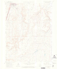
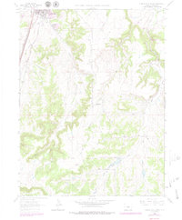
1965 Map of Castle Rock South
USGS Topo · Published 1973About this map
Castle Rock dominates the northern edge of this Douglas County quadrangle, showing the community's mid-century layout adjacent to the County Fairground. The landscape is defined by a dense network of drainages including Cherry Creek, Mitchell Gulch, and Sellers Gulch, highlighting the complex hydrology of the Colorado Front Range foothills. Transportation corridors are a central theme, as the tracks of the Atchison Topeka and Santa Fe and the Denver and Rio Grande Western railroads parallel the western valley floor. Industrial activity is evident through several quarries and a Gravel Pit scattered across the terrain. Farther south, the map transitions into more isolated territory featuring Hunt Mtn and a quiet Cem, providing a look at the area's rural character before extensive modern suburban expansion.
Find a feature on this map
26 named features on this map. Tap any name to fly to it.
Don’t see what you’re looking for? This feature index may not catch every label — zoom into the map to look around manually.
Map Details
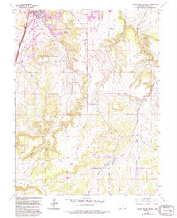
Editions of this 1965 Castle Rock South Map
6 editions found
Other maps of this area

1894 · Castle Rock
USGS Topo · 1:125,000

1913 · Castle Rock
USGS Topo · 1:125,000

1939 · Elizabeth
USGS Topo · 1:62,500

1940 · Elbert
USGS Topo · 1:62,500

1940 · Castle Rock
USGS Topo · 1:62,500

1944 · Elbert
USGS Topo · 1:62,500

1945 · Castle Rock
USGS Topo · 1:62,500

1945 · Elizabeth
USGS Topo · 1:62,500

1953 · Denver
USGS Topo · 1:250,000

1954 · Cherry Valley School
USGS Topo · 1:24,000