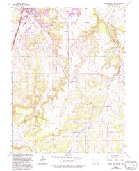
1965 Map of Castle Rock South
USGS Topo · Published 1994About this map
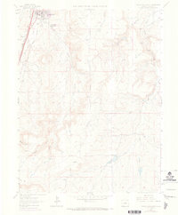
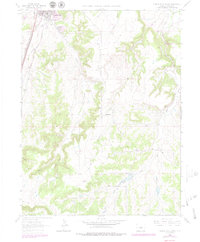
Castle Rock serves as the focal point for this mid-1960s survey, updated with 1980s developments such as Founders Village and the Plum Creek Golf and Country Club. The landscape is defined by the transition from the town's urban core, featuring the County Fairgrounds and Rock Ridge Sch, into the dramatic drainages of the East Plum Creek and Sellers Gulch. To the east, the terrain becomes increasingly complex as it moves toward Castlewood Canyon State Park, where the Castlewood Canyon Falls and the Arapahoe Canal illustrate the area's geological and engineering history. This 1994 revision captures the expansion of suburban residential areas into former ranching and industrial lands, evidenced by scattered Quarries and the old Russellville settlement area. The southern reaches are dominated by the elevations of Hunt Mtn and a network of ephemeral streams like Lake Gulch and Spring Gulch.
Find a feature on this map
35 named features on this map. Tap any name to fly to it.
Don’t see what you’re looking for? This feature index may not catch every label — zoom into the map to look around manually.
Map Details
Editions of this 1965 Castle Rock South Map
6 editions found
Other maps of this area

1894 · Castle Rock
USGS Topo · 1:125,000

1913 · Castle Rock
USGS Topo · 1:125,000

1939 · Elizabeth
USGS Topo · 1:62,500

1940 · Elbert
USGS Topo · 1:62,500

1940 · Castle Rock
USGS Topo · 1:62,500

1944 · Elbert
USGS Topo · 1:62,500

1945 · Castle Rock
USGS Topo · 1:62,500

1945 · Elizabeth
USGS Topo · 1:62,500

1953 · Denver
USGS Topo · 1:250,000

1954 · Cherry Valley School
USGS Topo · 1:24,000