
1949 Map of Cathlamet Bay
USGS Topo · Published 1955About this map
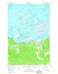
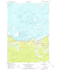
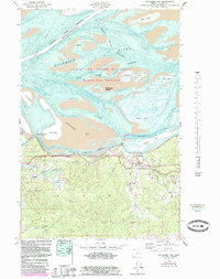
Cathlamet Bay and its complex archipelago dominate this mid-century coastal survey, revealing a landscape defined by tidal flats and shifting channels. The Columbia River forms the northern boundary, where numerous islands such as McGregor Island and Russian Island create a maze of waterways including the Woody Island Channel and Prairie Channel. Along the southern shore, the Spokane Portland and Seattle railroad and the Columbia River Highway serve as the primary transit corridors, linking the riverside communities and early educational centers like Fern Hill Sch and Svensen Sch.
Find a feature on this map
34 named features on this map. Tap any name to fly to it.
Don’t see what you’re looking for? This feature index may not catch every label — zoom into the map to look around manually.
Map Details
Editions of this 1949 Cathlamet Bay Map
4 editions found
Other maps of this area

1919 · Astoria
USGS Topo · 1:62,500

1938 · Fort Columbia
USGS Topo · 1:62,500

1939 · Astoria
USGS Topo · 1:62,500

1940 · Svensen
USGS Topo · 1:62,500

1940 · Brookfield
USGS Topo · 1:62,500

1943 · Fort Columbia
USGS Topo · 1:62,500

1949 · Astoria
USGS Topo · 1:24,000

1949 · Knappton
USGS Topo · 1:24,000

1949 · Green Mountain
USGS Topo · 1:24,000

1949 · Rosburg
USGS Topo · 1:24,000