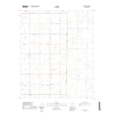
2023 Map of Causey East
USGS Topo · Published 2023About this map
Causey and the nearby locale of Roebuck anchor this survey of the high plains along the New Mexico-Texas state line. The landscape is defined by a rigorous grid of section lines and county roads, reflecting the systematic land division of the Public Land Survey System. Located in the southwestern corner of the map, Causey serves as a small rural hub, while the Roebuck Cem provides a genealogical touchpoint for families of this border region.
Find a feature on this map
33 named features on this map. Tap any name to fly to it.
Don’t see what you’re looking for? This feature index may not catch every label — zoom into the map to look around manually.
Map Details
Editions of this 2023 Causey East Map
This is the sole edition of this map. No revisions or reprints were ever made.
Other maps of this area

1954 · Clovis
USGS Topo · 1:250,000

1954 · Brownfield
USGS Topo · 1:250,000

1957 · Arch
USGS Topo · 1:62,500

1958 · Brownfield
USGS Topo · 1:250,000

1958 · Clovis
USGS Topo · 1:250,000

1962 · Brownfield
USGS Topo · 1:250,000

1962 · Stegall
USGS Topo · 1:24,000

1968 · Three Way School
USGS Topo · 1:24,000

1969 · Maple
USGS Topo · 1:24,000

1970 · Lingo
USGS Topo · 1:24,000