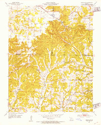
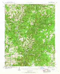
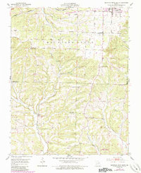
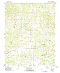
1951 Map of Cedar Gap
USGS Topo · Published 1953This historical map portrays the area of Cedar Gap in 1951, primarily covering Douglas County as well as portions of Webster County and Wright County. Featuring a scale of 1:24000, this map provides a highly detailed snapshot of the terrain, roads, buildings, counties, and historical landmarks in the Cedar Gap region at the time. Published in 1953, it is one of 5 known editions of this map due to revisions or reprints.
Find a feature on this map
38 named features on this map. Tap any name to fly to it.
Don’t see what you’re looking for? This feature index may not catch every label — zoom into the map to look around manually.
Map Details
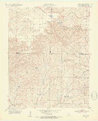
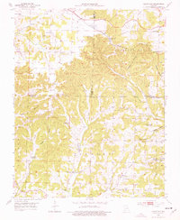
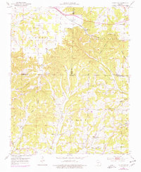
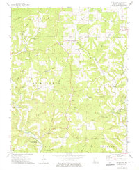
Editions of this 1951 Cedar Gap Map
5 editions found
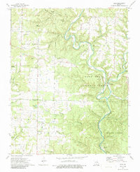
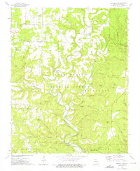
Historical Maps of Cedar Gap Through Time
28 maps found

1937 Bradleyville
Douglas County, MO

1937 Buckhart
Douglas County, MO
1939 Topaz
Douglas County, MO

1941 Topaz
Douglas County, MO
1943 Bradleyville
Douglas County, MO
1943 Buckhart
Douglas County, MO

1945 Bradleyville
Douglas County, MO

1945 Buckhart
Douglas County, MO
1951 Cedar Gap
Douglas County, MO
1951 Mountain Grove South
Douglas County, MO
1973 Brushyknob
Douglas County, MO
1973 Dora
Douglas County, MO

1973 Gentryville
Douglas County, MO
1973 Nichols Knob
Douglas County, MO

1973 Rockbridge
Douglas County, MO

1973 Vanzant
Douglas County, MO

1977 Cedar Gap
Douglas County, MO

1977 Mountain Grove South
Douglas County, MO

1982 Brownbranch
Douglas County, MO

1982 Dogwood
Douglas County, MO
1982 Goodhope
Douglas County, MO

1982 Smallett
Douglas County, MO

1982 Sweden
Douglas County, MO

2004 Brownbranch
Douglas County, MO

2004 Dora
Douglas County, MO
2004 Nichols Knob
Douglas County, MO

2004 Smallett
Douglas County, MO

2004 Vanzant
Douglas County, MO