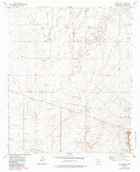
1973 Map of Cedar Point
USGS Topo · Published 1985About this map
The high desert landscape of eastern Chaves County is defined here by the industrial infrastructure of the Permian Basin's petroleum extraction. Extensive networks of the Vest Camp Oil Field, Sulimar Oil Field, and Double L Field dominate the terrain, marked by numerous drill holes and a prominent Pumping Sta. The reliance on groundwater in this arid environment is evident through the naming of isolated water sources and windmills, such as Philley Tank, Deep Tank Windmill, and the uniquely named Scrambled Egg Windmill.
Find a feature on this map
20 named features on this map. Tap any name to fly to it.
Don’t see what you’re looking for? This feature index may not catch every label — zoom into the map to look around manually.
Map Details
Editions of this 1973 Cedar Point Map
2 editions found
Other maps of this area

1951 · King Camp
USGS Topo · 1:24,000

1952 · Connor Well
USGS Topo · 1:24,000

1953 · Basin Well
USGS Topo · 1:24,000

1954 · Carlsbad
USGS Topo · 1:250,000

1954 · Hobbs
USGS Topo · 1:250,000

1954 · Brownfield
USGS Topo · 1:250,000

1955 · Roswell
USGS Topo · 1:250,000

1958 · Carlsbad
USGS Topo · 1:250,000

1958 · Brownfield
USGS Topo · 1:250,000

1958 · Roswell
USGS Topo · 1:250,000