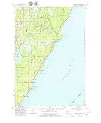
1963 Map of Cedar River
USGS Topo · Published 1979About this map
Green Bay shorelines dominate this early 1960s survey of Menominee County, where the Cedar River meets the lake at Cedarville. The landscape is a mosaic of conservation and small coastal settlements, anchored by the J W Wells State Park and the sprawling State Forest. Evidence of local industry and spiritual life appear through various Gravel Pits and the Dominican House of Studies near Hayward Bay.
Find a feature on this map
50 named features on this map. Tap any name to fly to it.
Don’t see what you’re looking for? This feature index may not catch every label — zoom into the map to look around manually.
Map Details
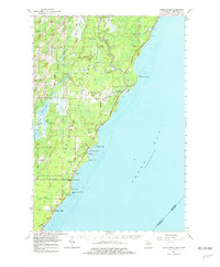
Editions of this 1963 Cedar River Map
3 editions found

Other maps of this area

1939 · Marinette
USGS Topo · 1:48,000

1949 · Stephenson
USGS Topo · 1:48,000

1954 · Escanaba
USGS Topo · 1:250,000

1957 · Escanaba
USGS Topo · 1:250,000

1958 · Escanaba
USGS Topo · 1:250,000

1958 · Escanaba
USGS Topo · 1:62,500

1960 · Sister Bay
USGS Topo · 1:62,500

1960 · Ellison Bay
USGS Topo · 1:62,500

1961 · Chambers Island
USGS Topo · 1:62,500

1963 · Bark River
USGS Topo · 1:62,500
Featured Places
- Ingallston Township, MI
- Beach Grove, MI
- Cedarville Township, MI
- Daggett Township, MI
- Johnson Landing, MI