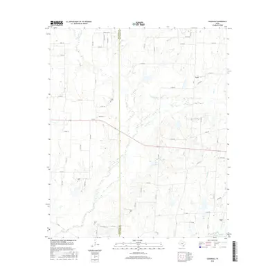
2016 Map of Cedarvale
USGS Topo · Published 2016About this map
The boundary between Kaufman Co and Van Zandt Co bisects this landscape of North Texas, characterized by its intricate drainage systems and agricultural road networks. Several small burial grounds, including Heidle Cem and Kayser Cem, are situated along the country roads, providing significant points of interest for genealogical research in the area. The local topography is defined by numerous waterways such as Rocky Cedar Cr, Caney Cr, and the converging branches of Wet Lacy Fork and Dry Lacy Fork. Small community centers like Cedarvale and Scott anchor the rural infrastructure, while Goode Field and the waters of Bobbitt Lake mark the eastern portion of the quadrangle. The map details a transition from open fields to the wooded riparian corridors of Denton Cr and Knudson Br.
Find a feature on this map
70 named features on this map. Tap any name to fly to it.
Don’t see what you’re looking for? This feature index may not catch every label — zoom into the map to look around manually.
Map Details
Editions of this 2016 Cedarvale Map
This is the sole edition of this map. No revisions or reprints were ever made.
Other maps of this area
1920 · Kemp
USGS Topo · 1:62,500
1948 · Martins Mill
USGS Topo · 1:62,500
1949 · Martins Mill
USGS Topo · 1:62,500
1954 · Dallas
USGS Topo · 1:250,000
1956 · Tyler
USGS Topo · 1:250,000
1957 · Kemp
USGS Topo · 1:62,500
1958 · Dallas
USGS Topo · 1:250,000
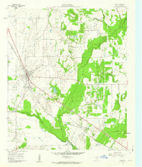
1961 · Kemp
USGS Topo · 1:24,000
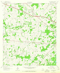
1962 · Myrtle Springs
USGS Topo · 1:24,000
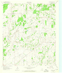
1962 · Prairieville
USGS Topo · 1:24,000