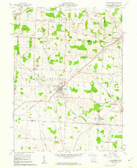
1961 Map of Centerburg
USGS Topo · Published 1962About this map
Centerburg serves as the central hub of this Knox County landscape, where the Pennsylvania and New York Central railroads intersect. This 1961 field-checked survey reveals a rural economy shaped by these rail corridors and a network of gravel roads like Mt Vernon Road and West Liberty Road. The topography is defined by the headwaters of the North Fork Licking River and Otter Fork Licking River, which drain the southern agricultural fields. Local genealogy is well-documented through numerous burial grounds, including Centerburg Cem, Eastview Cem, and the more remote Kile Cem. Distinctive landmarks such as the Fairground south of town and the Radio Tower near the Licking County line provide specific points of reference for researchers tracing mid-century development in Hilliar and Milford townships.
Find a feature on this map
47 named features on this map. Tap any name to fly to it.
Don’t see what you’re looking for? This feature index may not catch every label — zoom into the map to look around manually.
Map Details
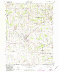
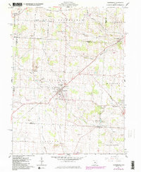
Editions of this 1961 Centerburg Map
3 editions found
Other maps of this area

1902 · Westerville
USGS Topo · 1:62,500

1904 · Westerville
USGS Topo · 1:62,500

1908 · Granville
USGS Topo · 1:62,500

1910 · Granville
USGS Topo · 1:62,500

1915 · Marengo
USGS Topo · 1:62,500

1915 · Fredericktown
USGS Topo · 1:62,500

1943 · Marengo
USGS Topo · 1:62,500

1943 · Fredericktown
USGS Topo · 1:62,500

1950 · Marion
USGS Topo · 1:250,000
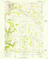
1955 · Sunbury
USGS Topo · 1:24,000