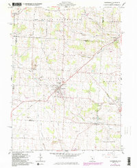
1961 Map of Centerburg
USGS Topo · Published 1984About this map
Centerburg serves as the central hub of this Knox County landscape, where the confluence of several townships including Hilliar and Milford creates a dense network of early rural infrastructure. This 1961 field check, updated with 1980s data, reveals a transition from traditional rail-dependent industry to modern utility corridors, evidenced by the presence of a substantial Pipeline and the Chapman Memorial Airport. The map is particularly valuable for genealogists, detailing numerous family and community burial grounds such as Houck Cem, Eastview Cem, and Moreland Cem scattered across the township lines.
Find a feature on this map
48 named features on this map. Tap any name to fly to it.
Don’t see what you’re looking for? This feature index may not catch every label — zoom into the map to look around manually.
Map Details
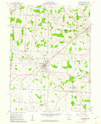
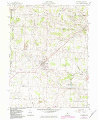
Editions of this 1961 Centerburg Map
3 editions found
Other maps of this area

1902 · Westerville
USGS Topo · 1:62,500

1904 · Westerville
USGS Topo · 1:62,500

1908 · Granville
USGS Topo · 1:62,500

1910 · Granville
USGS Topo · 1:62,500

1915 · Marengo
USGS Topo · 1:62,500

1915 · Fredericktown
USGS Topo · 1:62,500

1943 · Marengo
USGS Topo · 1:62,500

1943 · Fredericktown
USGS Topo · 1:62,500

1950 · Marion
USGS Topo · 1:250,000
1955 · Sunbury
USGS Topo · 1:24,000