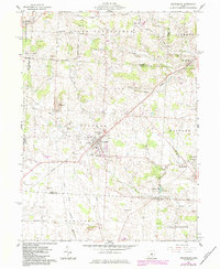
1961 Map of Centerburg
USGS Topo · Published 1984About this map
The intersection of several rural townships including Hilliar, South Bloomfield, and Milford defines this portion of the Ohio countryside. At the heart of the region sits Centerburg, a hub surrounded by a network of smaller communities like Mt Liberty and Bloomfield. The landscape is largely agricultural, punctuated by numerous Gravel Pits and the winding course of the North Fork Licking River and Sugar Creek. Genealogists will find a wealth of local burial sites, from the prominent Centerburg Cem and Eastview Cem to the smaller Houck Cem and Moreland Cem located near Milford Ch. Further south, the Chapman Memorial Airport and the local Fairground highlight the community's mid-century infrastructure and social gathering points.
Find a feature on this map
37 named features on this map. Tap any name to fly to it.
Don’t see what you’re looking for? This feature index may not catch every label — zoom into the map to look around manually.
Map Details
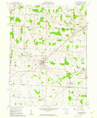
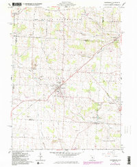
Editions of this 1961 Centerburg Map
3 editions found
Other maps of this area

1902 · Westerville
USGS Topo · 1:62,500

1904 · Westerville
USGS Topo · 1:62,500

1908 · Granville
USGS Topo · 1:62,500

1910 · Granville
USGS Topo · 1:62,500

1915 · Marengo
USGS Topo · 1:62,500

1915 · Fredericktown
USGS Topo · 1:62,500

1943 · Marengo
USGS Topo · 1:62,500

1943 · Fredericktown
USGS Topo · 1:62,500

1950 · Marion
USGS Topo · 1:250,000
1955 · Sunbury
USGS Topo · 1:24,000