
1942 Map of Central City
USGS Topo · Published 1955About this map
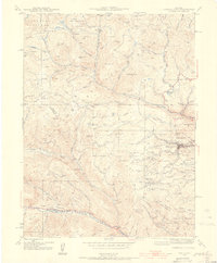
The gold mining legacy of Gilpin County is on full display in this 1942 survey, centered on the high-altitude hub of Central City. The map reveals a densely concentrated landscape of extractive industry, from the massive Glory Hole and Chain O Mine near the city center to the Pittsburg Mine in Lake Gulch. The steep terrain between Maryland Mountain and Seaton Mountain is etched with specialized infrastructure, including an Abandoned Flume and the Fall River Power Plant, illustrating how water and power were harnessed for large-scale mountain operations.
Find a feature on this map
83 named features on this map. Tap any name to fly to it.
Don’t see what you’re looking for? This feature index may not catch every label — zoom into the map to look around manually.
Map Details
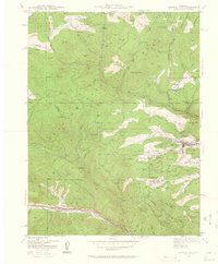
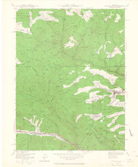
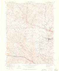
Editions of this 1942 Central City Map
5 editions found
Other maps of this area

1899 · West Denver
USGS Topo · 1:125,000

1903 · Georgetown
USGS Topo · 1:62,500

1905 · Central City
USGS Topo · 1:62,500

1905 · Georgetown
USGS Topo · 1:62,500

1906 · Blackhawk
USGS Topo · 1:62,500

1910 · Central City
USGS Topo · 1:62,500

1912 · Central City
USGS Topo · 1:62,500

1942 · Nederland
USGS Topo · 1:24,000

1942 · Tungsten
USGS Topo · 1:24,000

1942 · Black Hawk
USGS Topo · 1:24,000