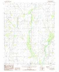
1984 Map of Central
USGS Topo · Published 1985About this map
L'Anguille River meanders through the eastern portion of this landscape in Cross County, defining a complex drainage system that includes Brushy Creek and Black Fork. The mid-1980s terrain is characterized by a high-density network of irrigation infrastructure, specifically numerous segments marked Irr Canal, which crisscross the agricultural plots between the larger waterways of First Creek and Second Creek.
Find a feature on this map
12 named features on this map. Tap any name to fly to it.
Don’t see what you’re looking for? This feature index may not catch every label — zoom into the map to look around manually.
Map Details
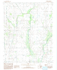
Editions of this 1984 Central Map
2 editions found
Other maps of this area

1939 · Vanndale
USGS Topo · 1:62,500

1939 · Wynne
USGS Topo · 1:62,500

1939 · Hunter
USGS Topo · 1:62,500

1940 · Tilton
USGS Topo · 1:62,500

1953 · Memphis
USGS Topo · 1:250,000

1956 · Memphis
USGS Topo · 1:250,000

1956 · Tilton
USGS Topo · 1:62,500

1956 · Hunter
USGS Topo · 1:62,500

1958 · Hunter
USGS Topo · 1:62,500

1958 · Wynne
USGS Topo · 1:62,500