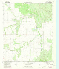
1968 Map of Chalk
USGS Topo · Published 1981About this map
The North Wichita River carves a winding path through the northern Cottle County landscape, defining a terrain shaped by gypsum-rich waters and cattle ranching history. Settled near the southern edge of the sheet, the small community of Chalk appears with its cluster of structures, including a gin and a nearby landing strip, serving the surrounding agricultural plains. The geography is characterized by numerous seasonal drainages like Salt Creek and Buffalo Creek, which feed into the river system through eroded breaks in the plains.
Find a feature on this map
13 named features on this map. Tap any name to fly to it.
Don’t see what you’re looking for? This feature index may not catch every label — zoom into the map to look around manually.
Map Details
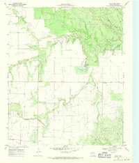
Editions of this 1968 Chalk Map
2 editions found
Other maps of this area

1954 · Lubbock
USGS Topo · 1:250,000

1954 · Plainview
USGS Topo · 1:250,000

1958 · Plainview
USGS Topo · 1:250,000

1966 · Chalk SW
USGS Topo · 1:24,000

1966 · Lowrance Mountain
USGS Topo · 1:24,000

1967 · Triangle Ranch
USGS Topo · 1:24,000

1967 · Paducah
USGS Topo · 1:24,000

1967 · Moons Camp
USGS Topo · 1:24,000

1968 · Y Ranch
USGS Topo · 1:24,000

1968 · Grow
USGS Topo · 1:24,000