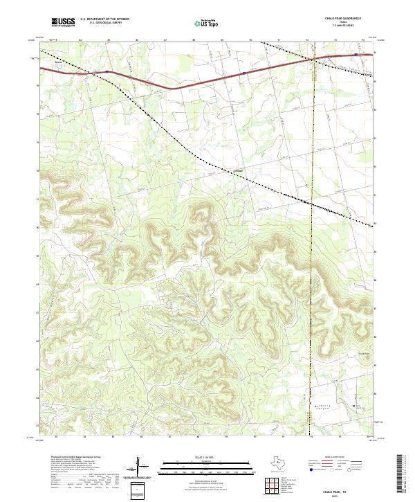
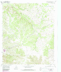
2022 Map of Chalk Peak
USGS Topo · Published 2022This historical map portrays the area of Chalk Peak in 2022, primarily covering Nolan County as well as portions of Taylor County. Featuring a scale of 1:24000, this map provides a highly detailed snapshot of the terrain, roads, buildings, counties, and historical landmarks in the Chalk Peak region at the time. Published in 2022, it is the sole known edition of this map.
Map Details
Editions of this 2022 Chalk Peak Map
This is the sole edition of this map. No revisions or reprints were ever made.
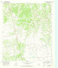
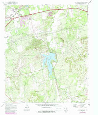
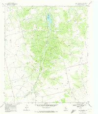
Historical Maps of Taylor County Through Time
20 maps found
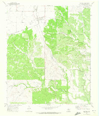
1967 Hylton
Nolan County, TX
1969 Bench Mountain
Nolan County, TX
1969 Blackwell NE
Nolan County, TX
1969 Dew Drop Creek
Nolan County, TX
1969 Holder Creek
Nolan County, TX
1969 Lake Sweetwater
Nolan County, TX
1969 Lake Trammell
Nolan County, TX
1969 Maryneal
Nolan County, TX
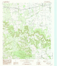
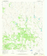
1984 Chalk Peak
Nolan County, TX
1984 Nolan
Nolan County, TX
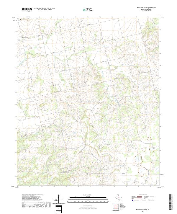
2022 Bench Mountain
Nolan County, TX
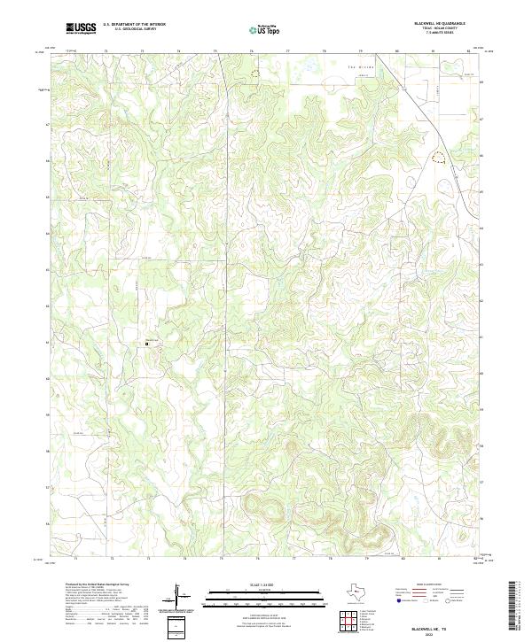
2022 Blackwell NE
Nolan County, TX
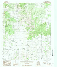
2022 Chalk Peak
Nolan County, TX
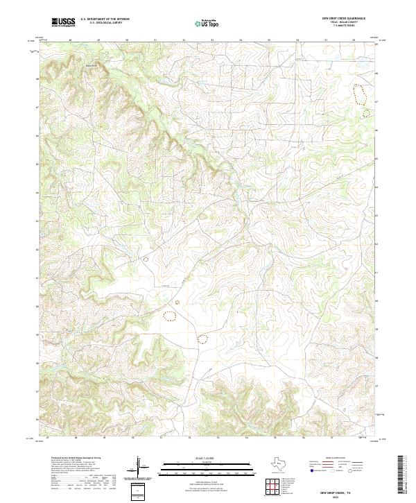
2022 Dew Drop Creek
Nolan County, TX
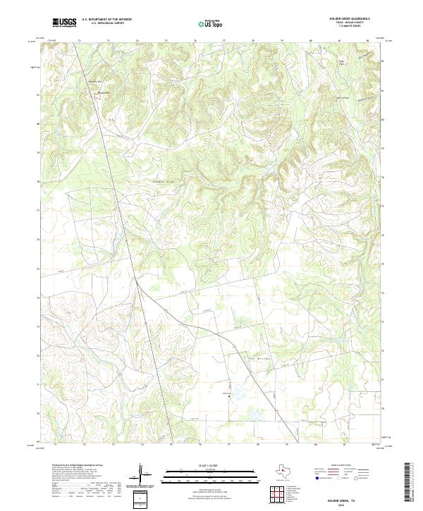
2022 Holder Creek
Nolan County, TX
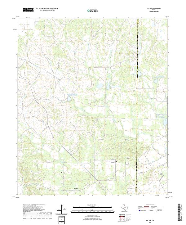
2022 Hylton
Nolan County, TX
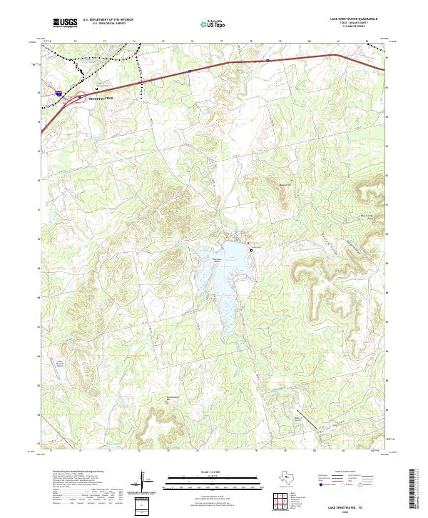
2022 Lake Sweetwater
Nolan County, TX
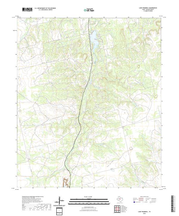
2022 Lake Trammell
Nolan County, TX
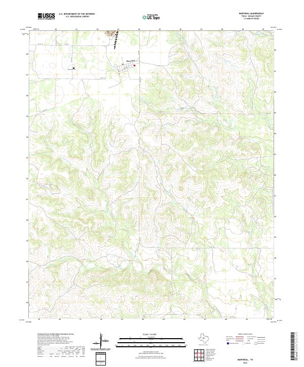
2022 Maryneal
Nolan County, TX
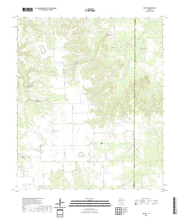
2022 Nolan
Nolan County, TX