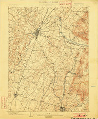
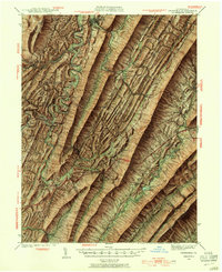
1902 Map of Chambersburg
USGS Topo · Published 1902About this map
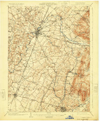
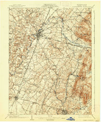
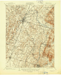
Chambersburg serves as the central hub of this turn-of-the-century landscape, where the Cumberland Valley R.R. and several pikes converge. The map illustrates a dense network of early 20th-century transportation, including the Western Maryland R.R. and the Mont Alto R.R., which navigate the transition from the broad valley floor to the prominent eastern ridges of Montalto Mtn. and Quincy Mt..
Find a feature on this map
99 named features on this map. Tap any name to fly to it.
Don’t see what you’re looking for? This feature index may not catch every label — zoom into the map to look around manually.
Map Details
Editions of this 1902 Chambersburg Map
7 editions found
Other maps of this area

1900 · Mercersburg
USGS Topo · 1:62,500

1902 · Mercersburg
USGS Topo · 1:62,500
1909 · Fairfield
USGS Topo · 1:62,500

1909 · Hagerstown
USGS Topo · 1:48,000
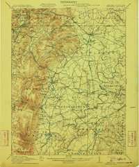
1911 · Emmitsburg
USGS Topo · 1:62,500
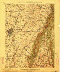
1912 · Hagerstown
USGS Topo · 1:62,500

1912 · Williamsport
USGS Topo · 1:62,500
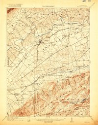
1919 · Newville
USGS Topo · 1:62,500
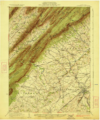
1923 · Shippensburg
USGS Topo · 1:62,500
1939 · Orbisonia
USGS Topo · 1:62,500