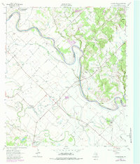
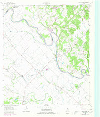
1962 Map of Chances Store
USGS Topo · Published 1984About this map
The Brazos River creates a meandering border between Brazos and Burleson counties, defining a landscape of fertile bottomlands and winding tributaries. The 1960s rural character of the region is evident in the network of country churches and small community hubs like Chances Store and Grant. Local history is preserved in sites such as Newsome Cem and Clayton Cem, while the northern portion of the map includes the sprawling Texas A & M University Research Annex.
Find a feature on this map
30 named features on this map. Tap any name to fly to it.
Don’t see what you’re looking for? This feature index may not catch every label — zoom into the map to look around manually.
Map Details
Editions of this 1962 Chances Store Map
5 editions found
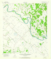
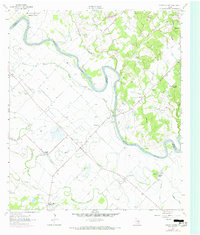
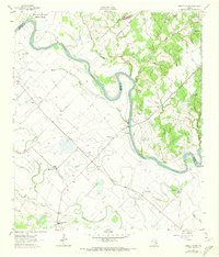
Other maps of this area

1914 · Gay Hill
USGS Topo · 1:62,500

1954 · Austin
USGS Topo · 1:250,000

1956 · Bryan
USGS Topo · 1:62,500

1956 · Caldwell
USGS Topo · 1:62,500

1956 · Somerville
USGS Topo · 1:62,500

1959 · Clay
USGS Topo · 1:24,000

1960 · Lyons
USGS Topo · 1:24,000
1960 · Snook
USGS Topo · 1:24,000

1961 · Mumford
USGS Topo · 1:24,000

1961 · Wellborn
USGS Topo · 1:24,000