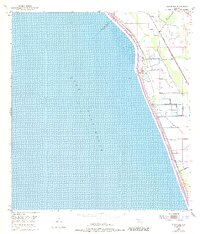
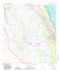
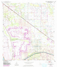
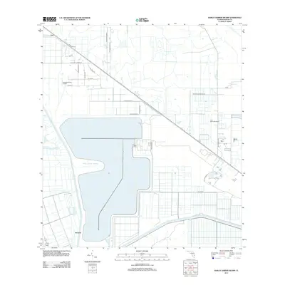
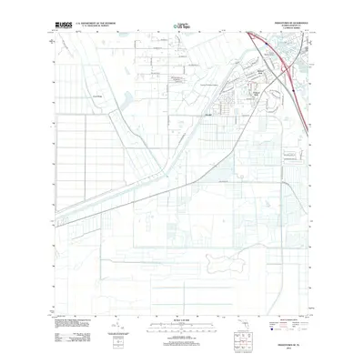
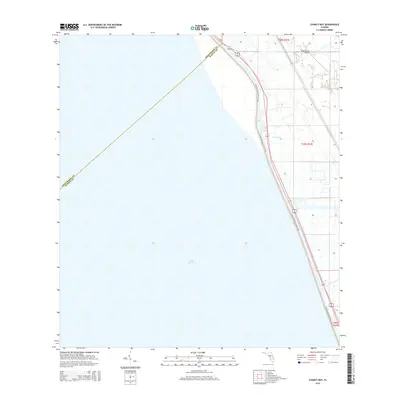
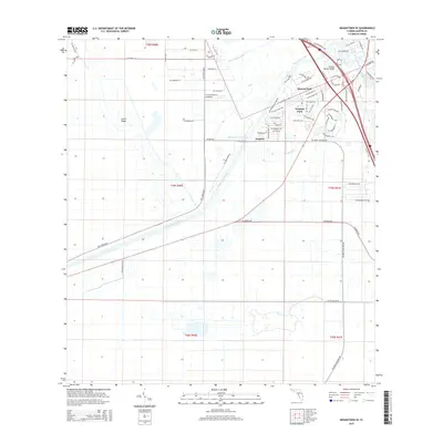
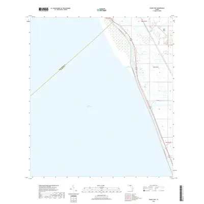
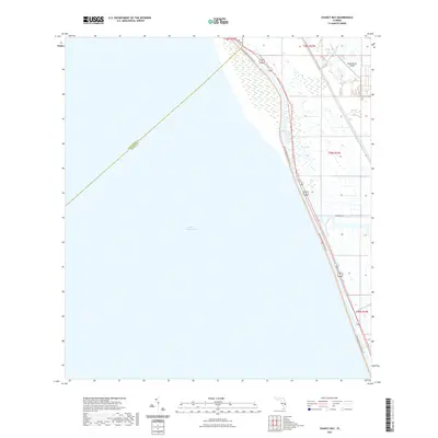
1953 Map of Chaney Bay
USGS Topo · Published 1993About this map
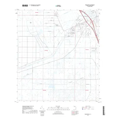
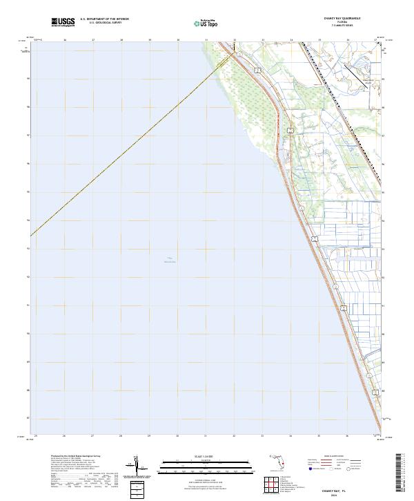
Lake Okeechobee dominates the western half of this quadrangle, with its waters maintained at an approximate mean lake elevation of 14 feet. Along the eastern shore, a complex system of water management is visible, characterized by a continuous Levee and numerous Spoil Banks that define the coastline. This 1953 survey, with revisions from 1970, captures the heavy engineering of the Florida landscape where the lake meets the marshy interior of Martin County.
Find a feature on this map
9 named features on this map. Tap any name to fly to it.
Don’t see what you’re looking for? This feature index may not catch every label — zoom into the map to look around manually.
Map Details
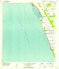
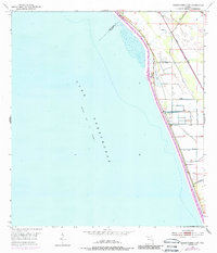
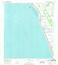
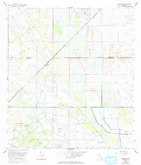
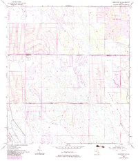
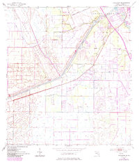
Editions of this 1953 Chaney Bay Map
4 editions found
Historical Maps of Martin County Through Time
49 maps found
1948 Gomez
Martin County, FL
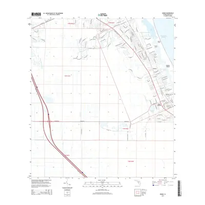
1948 St. Lucie Inlet
Martin County, FL
1949 Gomez
Martin County, FL
1950 St. Lucie Inlet
Martin County, FL
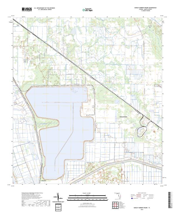
1953 Barley Barber Swamp
Martin County, FL
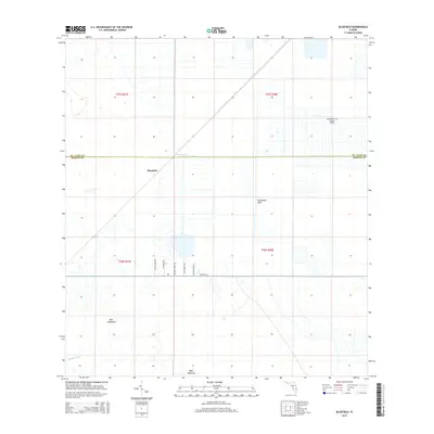
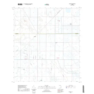
1953 Bluefield
Martin County, FL
1953 Chaney Bay
Martin County, FL
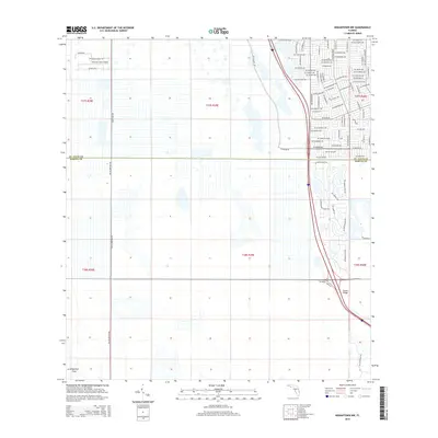
1953 Indiantown NW
Martin County, FL
1953 Indiantown SE
Martin County, FL
2012 Barley Barber Swamp
Martin County, FL
2012 Bluefield
Martin County, FL

2012 Chancy Bay
Martin County, FL
2012 Gomez
Martin County, FL
2012 Indiantown NW
Martin County, FL
2012 Indiantown SE
Martin County, FL
2012 Port Mayaca OE W
Martin County, FL
2012 Saint Lucie Inlet
Martin County, FL
2015 Barley Barber Swamp
Martin County, FL
2015 Bluefield
Martin County, FL
2015 Chancy Bay
Martin County, FL
2015 Gomez
Martin County, FL
2015 Indiantown NW
Martin County, FL
2015 Indiantown SE
Martin County, FL
2015 Port Mayaca OE W
Martin County, FL
2015 Saint Lucie Inlet
Martin County, FL
2018 Barley Barber Swamp
Martin County, FL
2018 Bluefield
Martin County, FL
2018 Chancy Bay
Martin County, FL
2018 Gomez
Martin County, FL
2018 Indiantown NW
Martin County, FL
2018 Indiantown SE
Martin County, FL
2018 Port Mayaca OE W
Martin County, FL
2018 Saint Lucie Inlet
Martin County, FL

2021 Barley Barber Swamp
Martin County, FL
2021 Bluefield
Martin County, FL
2021 Chancy Bay
Martin County, FL
2021 Gomez
Martin County, FL
2021 Indiantown NW
Martin County, FL
2021 Indiantown SE
Martin County, FL
2021 Port Mayaca OE W
Martin County, FL

2021 Saint Lucie Inlet
Martin County, FL
2024 Barley Barber Swamp
Martin County, FL
2024 Bluefield
Martin County, FL
2024 Chancy Bay
Martin County, FL
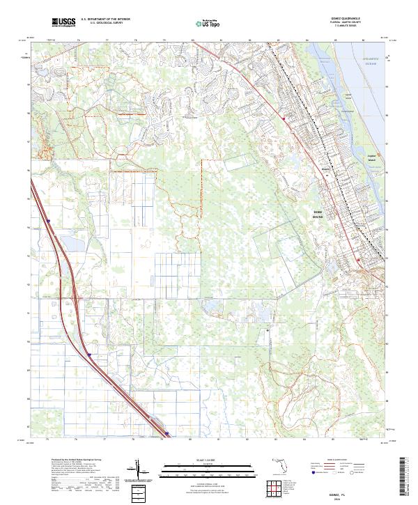
2024 Gomez
Martin County, FL
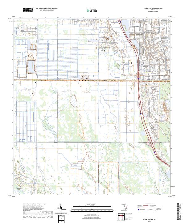
2024 Indiantown NW
Martin County, FL
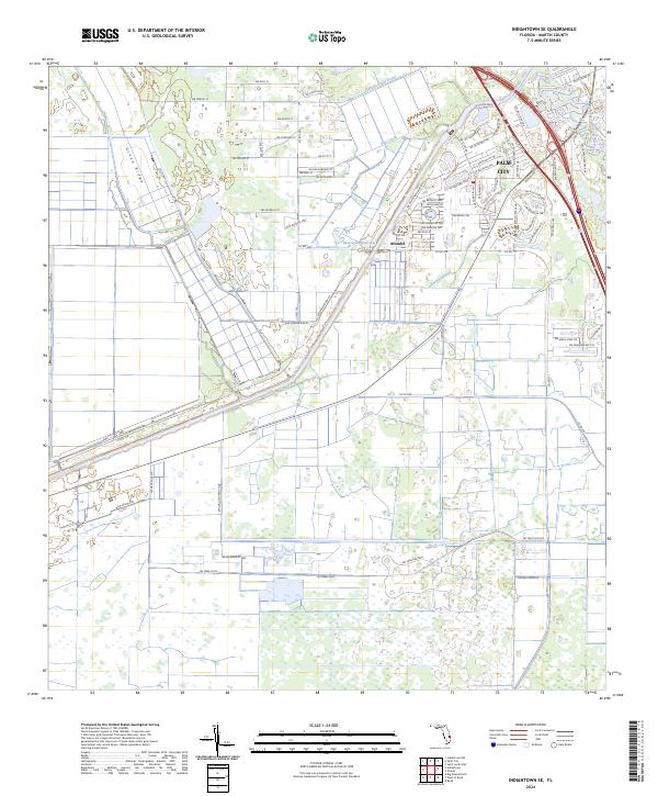
2024 Indiantown SE
Martin County, FL
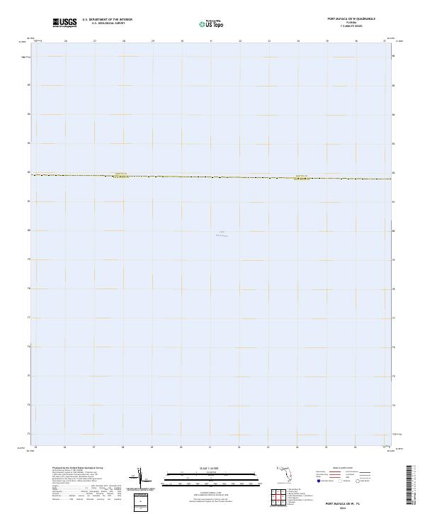
2024 Port Mayaca OE W
Martin County, FL
2024 Saint Lucie Inlet
Martin County, FL