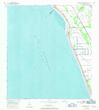
1953 Map of Okeechobee 4 SW
USGS Topo · Published 1987About this map
Lake Okeechobee dominates this mid-century landscape, where the eastern shoreline meets a carefully managed system of water control and transportation. A prominent Levee runs parallel to the coast, shielding the low-lying interior where several Pumping Stations and local Windmills suggest a terrain heavily influenced by drainage and agricultural management. The Florida East Coast rail line cuts a straight path through the eastern half of the map, providing a vital transport corridor along the lake's perimeter.
Find a feature on this map
9 named features on this map. Tap any name to fly to it.
Don’t see what you’re looking for? This feature index may not catch every label — zoom into the map to look around manually.
Map Details
Editions of this 1953 Okeechobee 4 SW Map
4 editions found
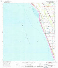
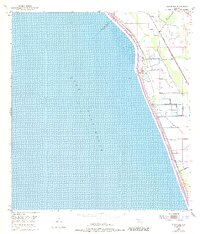
Other maps of this area

1952 · Okeechobee
USGS Topo · 1:24,000

1953 · Okeechobee 4 SW
USGS Topo · 1:24,000

1953 · Okeechobee 4 SE
USGS Topo · 1:24,000

1953 · Okeechobee 4 NE
USGS Topo · 1:24,000

1953 · Okeechobee 4 NW
USGS Topo · 1:24,000

1956 · West Palm Beach
USGS Topo · 1:250,000

1956 · Fort Pierce
USGS Topo · 1:250,000

1957 · West Palm Beach
USGS Topo · 1:250,000

1958 · Fort Pierce
USGS Topo · 1:250,000

1958 · West Palm Beach
USGS Topo · 1:250,000