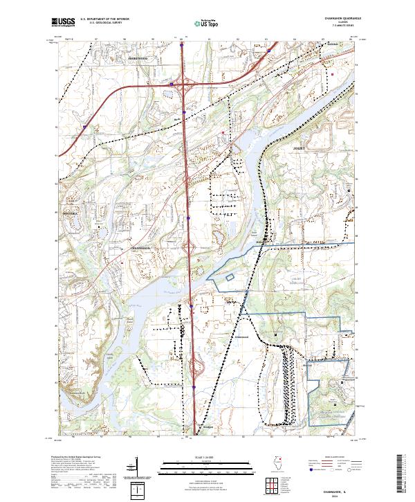
2024 Map of Channahon
USGS Topo · Published 2024About this map
The Des Plaines River and the DuPage River converge south of Channahon, creating a landscape defined by industrial development and significant commemorative sites. This 2024 survey captures the extensive grounds of the Abraham Lincoln National Cem and the adjacent Reed's Grove Cem near Elwood, while smaller family plots like Troutman Grove Cem and Willard Grove Cem remain preserved within suburban and agricultural zones.
Find a feature on this map
70 named features on this map. Tap any name to fly to it.
Don’t see what you’re looking for? This feature index may not catch every label — zoom into the map to look around manually.
Map Details
Editions of this 2024 Channahon Map
This is the sole edition of this map. No revisions or reprints were ever made.
Other maps of this area

1892 · Morris
USGS Topo · 1:62,500

1892 · Joliet
USGS Topo · 1:62,500

1892 · Wilmington
USGS Topo · 1:62,500

1918 · Wilmington
USGS Topo · 1:62,500

1918 · Morris
USGS Topo · 1:62,500

1923 · Joliet
USGS Topo · 1:62,500

1925 · Yorkville
USGS Topo · 1:62,500

1953 · Yorkville SE
USGS Topo · 1:24,000

1953 · Coal City
USGS Topo · 1:24,000

1953 · Symerton
USGS Topo · 1:24,000