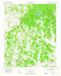
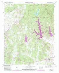
1950 Map of Chesterfield
USGS Topo · Published 1965About this map
Natchez Trace State Park and Forest dominates the northern half of this mid-century landscape in Henderson County, reflecting the conservation and reforestation efforts of the era. The terrain is defined by a dense network of small streams and hollows, including Browns Creek and Haley Creek, which feed into the Beech River Drainage Canal at the southern margin. This canal represents a significant modification of the natural hydrology for agricultural and flood control purposes.
Find a feature on this map
46 named features on this map. Tap any name to fly to it.
Don’t see what you’re looking for? This feature index may not catch every label — zoom into the map to look around manually.
Map Details
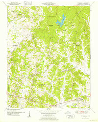
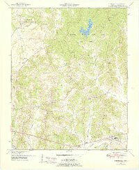
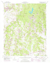
Editions of this 1950 Chesterfield Map
5 editions found
Other maps of this area

1936 · Clarksburg
USGS Topo · 1:24,000

1936 · Lexington
USGS Topo · 1:24,000

1936 · Yuma
USGS Topo · 1:24,000

1936 · Scotts Hill
USGS Topo · 1:24,000

1936 · Parsons
USGS Topo · 1:24,000

1936 · Reagan
USGS Topo · 1:24,000

1936 · Cavvia
USGS Topo · 1:24,000

1936 · Life
USGS Topo · 1:24,000

1936 · Chesterfield
USGS Topo · 1:24,000

1950 · Reagan
USGS Topo · 1:24,000