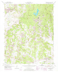
1950 Map of Chesterfield
USGS Topo · Published 1974About this map
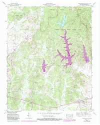
Natchez Trace State Park and Forest dominates the northern landscape of this map, representing a significant period of Tennessee conservation and recreation efforts in the mid-20th century. The area is characterized by its series of engineered water bodies, including Browns Creek Lake, Pin Oak Lake, and Redbud Creek Lake, which transformed the local drainage patterns of Browns Creek and its tributaries. To the southwest, the city of Lexington begins its eastward expansion, marked by the Lexington city limits and the nearby Franklin-Wilkins Airfield.
Find a feature on this map
65 named features on this map. Tap any name to fly to it.
Don’t see what you’re looking for? This feature index may not catch every label — zoom into the map to look around manually.
Map Details
Editions of this 1950 Chesterfield Map
5 editions found
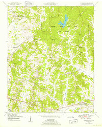
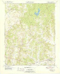
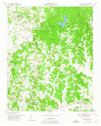
Other maps of this area

1936 · Clarksburg
USGS Topo · 1:24,000

1936 · Lexington
USGS Topo · 1:24,000

1936 · Yuma
USGS Topo · 1:24,000

1936 · Scotts Hill
USGS Topo · 1:24,000

1936 · Parsons
USGS Topo · 1:24,000

1936 · Reagan
USGS Topo · 1:24,000

1936 · Cavvia
USGS Topo · 1:24,000

1936 · Life
USGS Topo · 1:24,000

1936 · Chesterfield
USGS Topo · 1:24,000

1950 · Reagan
USGS Topo · 1:24,000