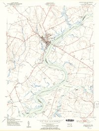
1953 Map of Chestertown
USGS Topo · Published 1955About this map
Chestertown and its colonial-era college anchor this 1950s survey of the Eastern Shore, where the Chester River forms a wide, winding boundary between Kent and Queen Annes counties. The river's deep influence on local commerce and social life is evident in the numerous wharves and landings that dot the shoreline, such as Roundtop Wharf and Southeast Landing. Away from the water, the landscape transitions into agricultural flats and wooded necks, including Wilmer Neck, and is populated by small settlements like Pomona and Old Town. Educational and community life is represented by Washington College and several rural houses of worship, including Bond Chapel and Union Ch. This era of development is captured mid-century, showing the early infrastructure of the modern automobile age with a Drive-in Theater and Gasoline stations appearing alongside traditional maritime features like the Devils Reach.
Find a feature on this map
65 named features on this map. Tap any name to fly to it.
Don’t see what you’re looking for? This feature index may not catch every label — zoom into the map to look around manually.
Map Details
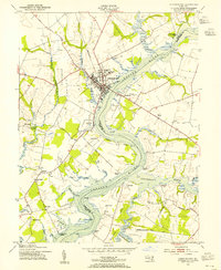
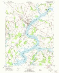
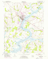
Editions of this 1953 Chestertown Map
4 editions found
Other maps of this area

1898 · Tolchester
USGS Topo · 1:125,000

1899 · Dover
USGS Topo · 1:125,000

1900 · Cecilton
USGS Topo · 1:62,500

1900 · Betterton
USGS Topo · 1:62,500

1901 · Chestertown
USGS Topo · 1:62,500

1903 · Tolchester
USGS Topo · 1:125,000

1905 · Barclay
USGS Topo · 1:62,500

1906 · Dover
USGS Topo · 1:125,000

1908 · Tolchester
USGS Topo · 1:125,000

1920 · Dover
USGS Topo · 1:125,000