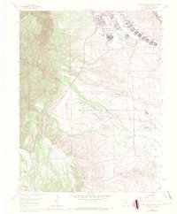
1961 Map of Cheyenne Mountain
USGS Topo · Published 1970About this map
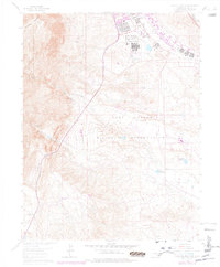
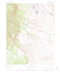
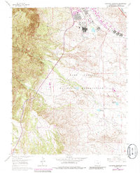
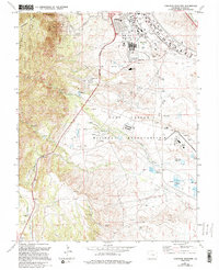
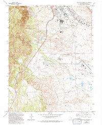
Cheyenne Mountain dominates the western skyline of this survey, marking the transition from the Pike National Forest to the extensive military lands of the Fort Carson Military Reservation. The map captures a moment of institutional and recreational development in El Paso County, showing the Louisiana State University Camp and the Rock Creek Park located within the mountain's folds.
Find a feature on this map
24 named features on this map. Tap any name to fly to it.
Don’t see what you’re looking for? This feature index may not catch every label — zoom into the map to look around manually.
Map Details
Editions of this 1961 Cheyenne Mountain Map
9 editions found
Other maps of this area

1893 · Colorado Springs
USGS Topo · 1:125,000

1909 · Colorado Springs
USGS Topo · 1:125,000

1942 · Colorado Springs
USGS Topo · 1:125,000

1948 · Mount Big Chief
USGS Topo · 1:24,000

1948 · Mount Pittsburg
USGS Topo · 1:24,000

1948 · Timber Mountain
USGS Topo · 1:24,000

1948 · Manitou Springs
USGS Topo · 1:24,000

1948 · Colorado Springs
USGS Topo · 1:62,500

1948 · Fountain
USGS Topo · 1:24,000

1948 · Colorado Springs
USGS Topo · 1:24,000