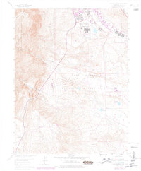
1961 Map of Cheyenne Mountain
USGS Topo · Published 1977About this map
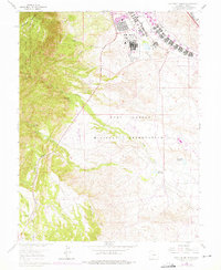
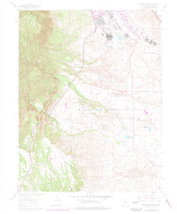
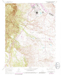
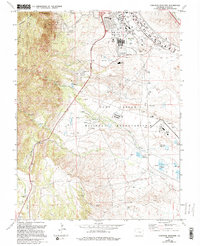
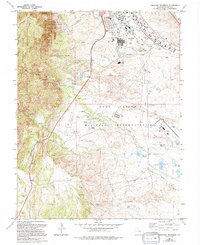
Cheyenne Mountain dominates the western edge of this Colorado landscape, rising sharply above the complex infrastructure of the Fort Carson Military Reservation. The map captures a moment of significant institutional presence, showing the hospital and various training facilities adjacent to the Louisiana State University Camp. Water management is a primary feature of the drainage systems here, evidenced by the Clover Ditch and reservoirs such as Haymes Reservoir and North Side Reservoir which serve the lower plains. To the southwest, the Hitch Rack Ranch and Rock Creek Park represent the transition into the Pike National Forest. The eastern half of the sheet illustrates the military's aeronautical footprint with Butts Airfield and a designated Landing Strip situated along the drainage of Rock Creek.
Find a feature on this map
26 named features on this map. Tap any name to fly to it.
Don’t see what you’re looking for? This feature index may not catch every label — zoom into the map to look around manually.
Map Details
Editions of this 1961 Cheyenne Mountain Map
9 editions found
Other maps of this area

1893 · Colorado Springs
USGS Topo · 1:125,000

1909 · Colorado Springs
USGS Topo · 1:125,000

1942 · Colorado Springs
USGS Topo · 1:125,000

1948 · Mount Big Chief
USGS Topo · 1:24,000

1948 · Mount Pittsburg
USGS Topo · 1:24,000

1948 · Timber Mountain
USGS Topo · 1:24,000

1948 · Manitou Springs
USGS Topo · 1:24,000

1948 · Colorado Springs
USGS Topo · 1:62,500

1948 · Fountain
USGS Topo · 1:24,000

1948 · Colorado Springs
USGS Topo · 1:24,000